Krumvíř
Located in Břeclav District, South Moravian Coordinates: 48°59′09″ N 16°55′07″ E
- Elevation
- 176 m
- above sea level
- Local time
- UTC+01:00
- Europe/Prague · UTC+01:00
- Places inside
- 1
- listed under Krumvíř
About Krumvíř
Krumvíř is a municipality. Location: Břeclav District, South Moravian. Elevation: 176 m.
In comparison
- Nearest larger town: Krumvíř, 1 km NW
- 10 sights and natural places within 10 km Harasky, Kobylská skála
Airports nearest to Krumvíř
- Brno-Tuřany Airport (BRQ) Brno 25 km
- M. R. Štefánik Airport (BTS) Bratislava 93 km
- Vienna International Airport (VIE) Vienna 101 km
Straight-line distance; airports with scheduled flights only. Source: OurAirports (public domain).
Places in Krumvíř
1 place-
Krumvíř Village1.3K
Nearby attractions & nature
Everything nearby-
Harasky Mountain, Morkůvky3.5 km W
-
Kobylská skála Mountain, Čejč4.9 km S
-
Plunary Mountain, Klobouky u Brna5 km W
-
Kloboucké nové hory Mountain, Klobouky u Brna5.5 km W
-
Kobylí vrch Mountain, Kobylí6.5 km S
-
Časkov Mountain, Borkovany6.3 km NW
-
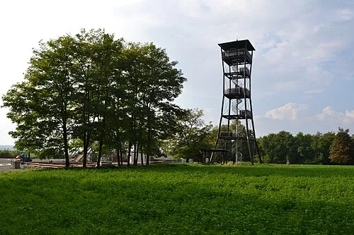 Nedánov Mountain, Boleradice7.1 km W
-
Spálený Mountain, Dambořice7 km N
Sources & licences
Data last updated: