Otnice
Located in Vyškov District, South Moravian Coordinates: 49°05′10″ N 16°48′44″ E
- Elevation
- 218 m
- above sea level
- Local time
- UTC+01:00
- Europe/Prague · UTC+01:00
- Places inside
- 1
- listed under Otnice
About Otnice
Otnice is a municipality. Location: Vyškov District, South Moravian. Elevation: 218 m.
In comparison
- Nearest larger town: Otnice, 0 km E
- 5 sights and natural places within 10 km Vinohrady, Časkov
Places in Otnice
1 place-
Otnice Village1.4K
Nearby attractions & nature
Everything nearby-
Vinohrady Mountain, Těšany4.1 km S
-
Časkov Mountain, Borkovany7.7 km S
-
Domaniny Mountain, Šitbořice8.6 km S
-
Spálený Mountain, Dambořice9.1 km SE
-
Šumberk Mountain, Dambořice9.6 km SE
-
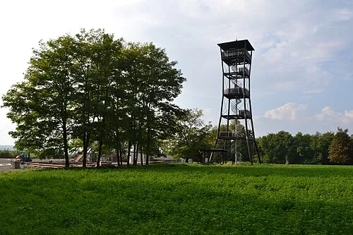 Nedánov Mountain, Boleradice12 km S
-
Urban Mountain, Slavkov u Brna11 km NE
-
Plunary Mountain, Klobouky u Brna12 km S
Sources & licences
Data last updated: