Chomutov District
Located in Ústí nad Labem Region, Czechia Coordinates: 50°25′00″ N 13°20′00″ E
- Population
- 124,751
- 124.8K
- Elevation
- 240 m
- above sea level
- Local time
- UTC+01:00
- Europe/Prague · UTC+01:00
- Places inside
- 44
- listed under Chomutov District
About Chomutov District
Chomutov District is a district. Location: Ústí nad Labem Region, Czechia. Population: 124,751.
In comparison
- 2 sights and natural places within 10 km Úhošť [Kadaň-Úhošť], Kolina
- Listed here: Municipality: 44
Places in Chomutov District
44 places-
Bílence Municipality
-
Blatno Municipality
-
Boleboř Municipality
-
Březno Municipality
-
Černovice Municipality
-
Chbany Municipality
-
Chomutov Municipality
-
Domašín Municipality
-
Droužkovice Municipality
-
Hora Svatého Šebestiána Municipality
-
Hrušovany Municipality
-
Jirkov Municipality
-
Kadaň Municipality
-
Kalek Municipality
-
Klášterec nad Ohří Municipality
-
Kovářská Municipality
-
Křimov Municipality
-
Kryštofovy Hamry Municipality
-
Libědice Municipality
-
Loučná pod Klínovcem Municipality
-
Málkov Municipality
-
Mašťov Municipality
-
Měděnec Municipality
-
Místo Municipality
-
Nezabylice Municipality
-
Okounov Municipality
-
Otvice Municipality
-
Perštejn Municipality
-
Pesvice Municipality
-
Pětipsy Municipality
-
Račetice Municipality
-
Radonice Municipality
-
Rokle Municipality
-
Spořice Municipality
-
Strupčice Municipality
-
Údlice Municipality
-
Vejprty Municipality
-
Veliká Ves Municipality
-
Vilémov Municipality
-
Vrskmaň Municipality
-
Všehrdy Municipality
-
Všestudy Municipality
-
Výsluní Municipality
-
Vysoká Pec Municipality
Nature and heritage in Chomutov District
-
Čihadlo Mountain, Kalek
-
Úhošť [Kadaň-Úhošť] Mountain, Kadaň
-
Černý vrch Mountain, Okounov
-
Jedlová Mountain, Vysoká Pec
-
Vysoká seč Mountain, Perštejn
-
Mravenčák Mountain, Klášterec nad Ohří
Nearby attractions & nature
Everything nearby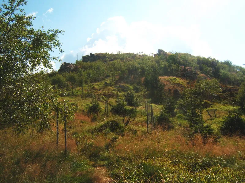
Sources & licences
Data last updated: