Mnetěš
Located in Litoměřice District, Ústí nad Labem Region Coordinates: 50°21′33″ N 14°16′29″ E
- Elevation
- 215 m
- above sea level
- Local time
- UTC+01:00
- Europe/Prague · UTC+01:00
- Places inside
- 1
- listed under Mnetěš
About Mnetěš
Mnetěš is a municipality. Location: Litoměřice District, Ústí nad Labem Region. Elevation: 215 m.
In comparison
Airports nearest to Mnetěš
- Václav Havel Airport Prague (PRG) Prague 29 km
- Dresden Airport (DRS) Dresden 93 km
- Karlovy Vary Airport (KLV) Karlovy Vary 98 km
Straight-line distance; airports with scheduled flights only. Source: OurAirports (public domain).
Places in Mnetěš
1 place-
Mnetěš Village482
Nearby attractions & nature
Everything nearby-
Vidrholec Mountain, Černuc4.8 km SW
-
Vinice Mountain, Poštovice10 km W
-
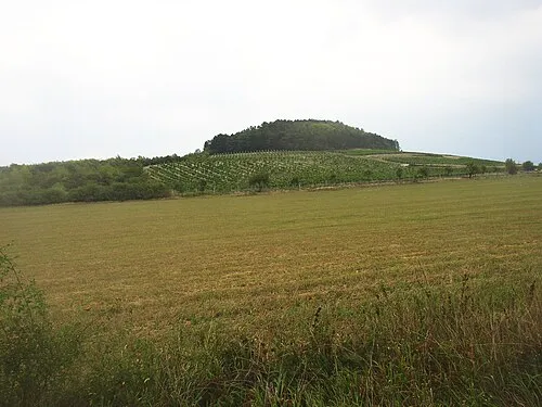 Sovice Mountain, Vrbice12 km N
-
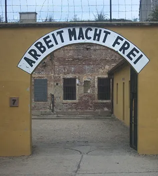 Terezin Ghetto Historic site, Terezín19 km NW
-
Skalky Mountain, Zlonice13 km SW
-
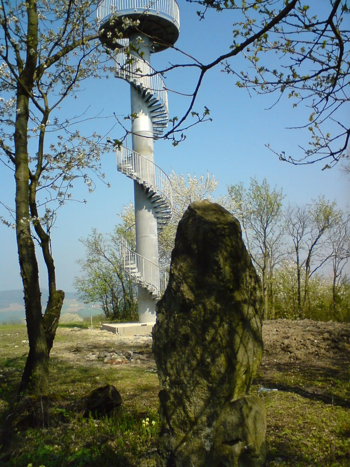 Hořidla Mountain, Polepy20 km N
-
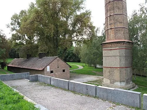 Leitmeritz Concentration Camp Historic site, Litoměřice23 km NW
-
Špičák [Štětí-Stračí] Mountain, Štětí14 km NE
Sources & licences
Data last updated: