Příštpo
Located in Třebíč District, Vysocina Coordinates: 49°04′13″ N 15°56′05″ E
- Elevation
- 424 m
- above sea level
- Local time
- UTC+01:00
- Europe/Prague · UTC+01:00
- Places inside
- 1
- listed under Příštpo
About Příštpo
Příštpo is a municipality. Location: Třebíč District, Vysocina. Elevation: 424 m.
In comparison
Places in Příštpo
1 place-
Příštpo Village280
Nearby attractions & nature
Everything nearby-
Svatocheň Mountain, Račice6.8 km NE
-
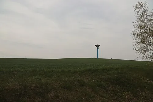 Stráž Mountain, Častohostice11 km SW
-
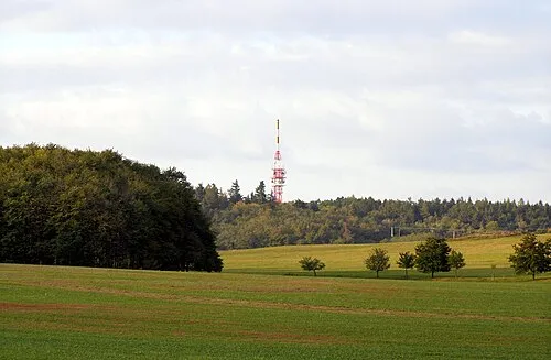 Klučovská hora Mountain, Klučov11 km N
-
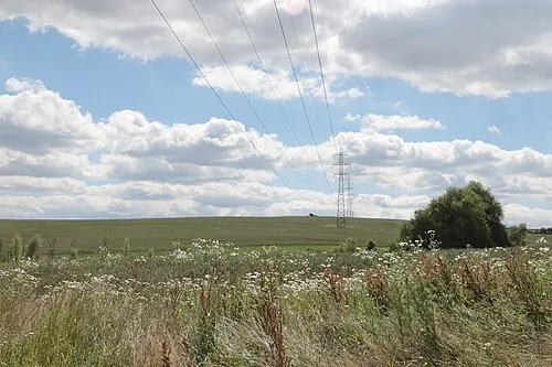 Přední Úvary Mountain, Dolní Vilémovice11 km N
-
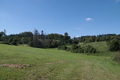 Hardeky Mountain, Klučov11 km N
-
Valečský kopec Mountain, Třebenice12 km NE
-
Cibuluška Mountain, Rouchovany11 km E
-
Záhoří Mountain, Klučov12 km N
Sources & licences
Data last updated: