Slangerup
Located in Frederikssund Kommune, Capital Region Coordinates: 55°51′00″ N 12°11′00″ E
- Population
- 6,953
- 7K
- Elevation
- 29 m
- above sea level
- Local time
- UTC+01:00
- Europe/Copenhagen · UTC+01:00
About Slangerup
Slangerup is a town. Location: Frederikssund Kommune, Capital Region. Population: 6,953. Elevation: 29 m.
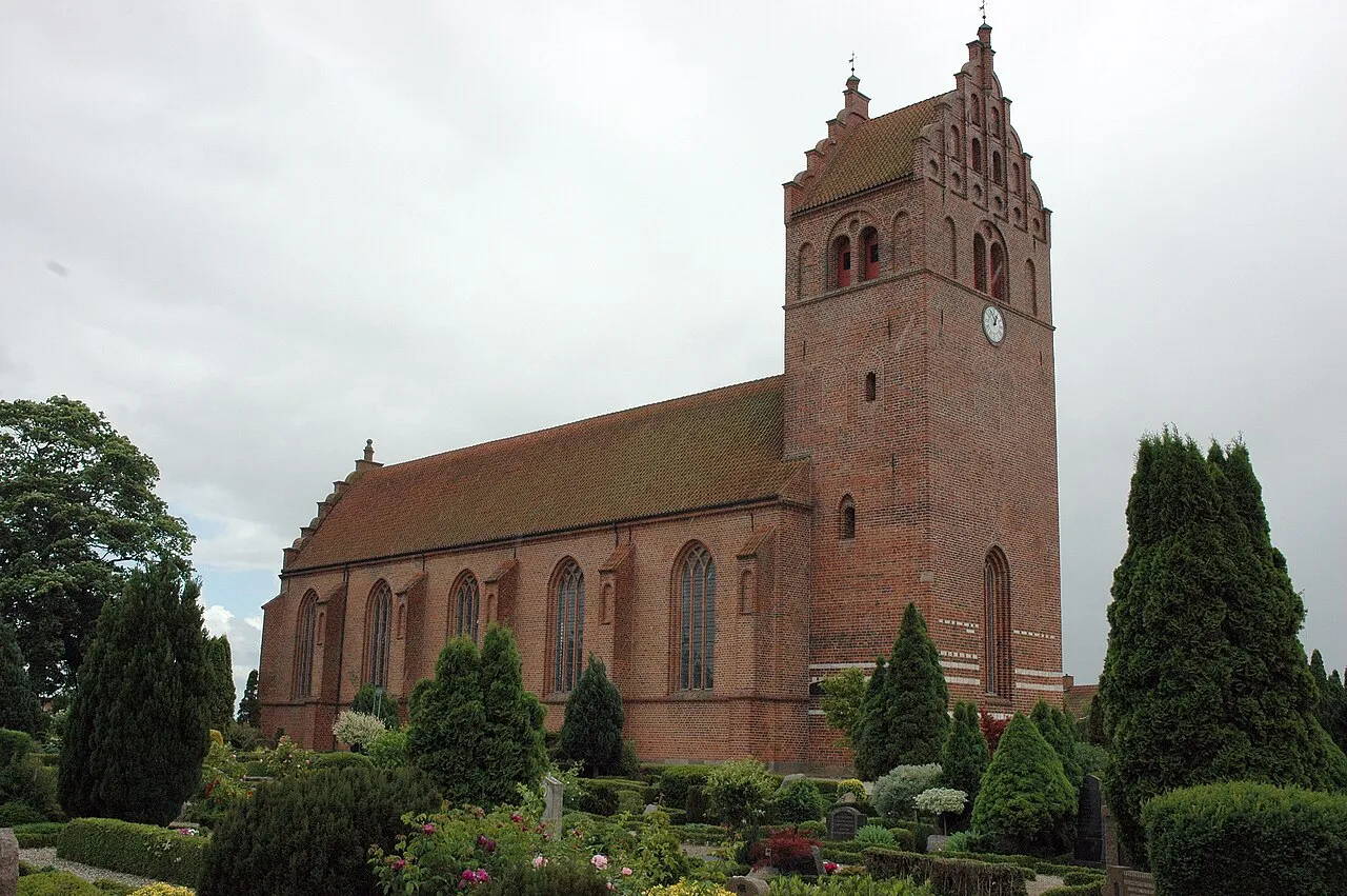
Slangerup is a town in Frederikssund Municipality, about 30 km north-west of central Copenhagen, in the Capital Region of Denmark.
Read more on Wikipedia Text: Wikipedia contributors · CC BY-SA 4.0 · shortened
In comparison
- No. 2 of 5 places in Frederikssund Kommune by population
- Nearest larger town: Frederikssund, 7 km W
- 7 sights and natural places within 10 km Stenesknold, Skyhøj
Nearby attractions & nature
Everything nearby-
Stenesknold Mountain, Frederikssund Kommune3 km S
-
Skyhøj Mountain, Egedal Kommune4 km S
-
Danshøj Mountain, Frederikssund Kommune5.6 km W
-
Strø Bjerg Mountain, Hillerød Kommune5.5 km NW
-
Stenø Island, Frederikssund Kommune9.3 km SW
-
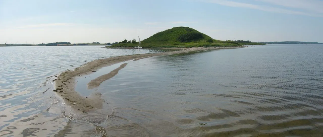 Kølholm Island, Frederikssund Kommune9.2 km SW
-
Thyrahøj Mountain, Frederikssund Kommune11 km W
-
Hyldeholm Island, Frederikssund Kommune9.8 km SW
Sources & licences
Data last updated: · 2 independent sources