Værløse
Located in Furesø Kommune, Capital Region Coordinates: 55°46′57″ N 12°22′07″ E
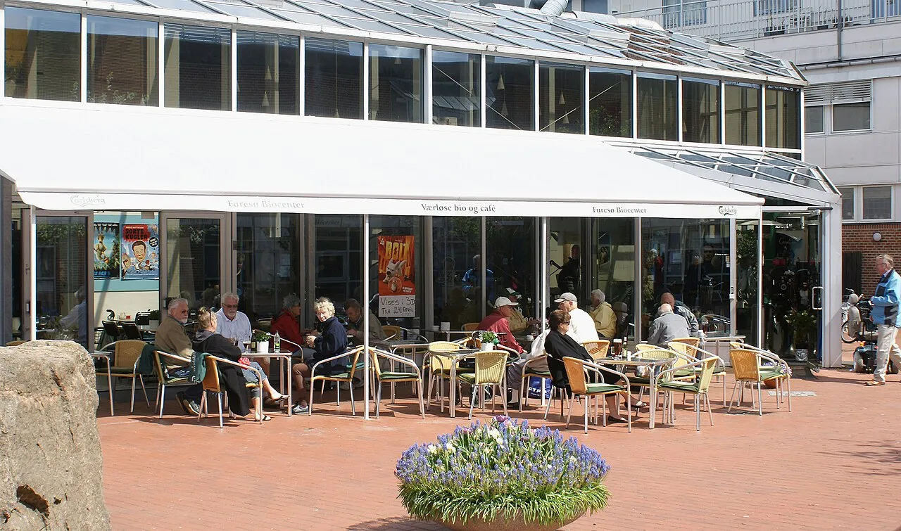
- Population
- 13,197
- 13.2K
- Elevation
- 47 m
- above sea level
- Local time
- UTC+01:00
- Europe/Copenhagen · UTC+01:00
About Værløse
Værløse is a town. Location: Furesø Kommune, Capital Region. Population: 13,197. Elevation: 47 m.
Værløse (Danish pronunciation: [ˈvɛɐ̯ˌløːsə]) is a town in Furesø Municipality in the northwestern outskirts of Copenhagen, Denmark. As of 1 January 2026, it has a population of 13,197. Situated on the west side of the Hillerød Motorway, between Farum Lake to the north and Søndersø Lake to the south, it is surrounded by forest on three sides. Modern Værløse emerged around Værløse station in the 1950s. The original centre of the parish was the village of Kirke Værløse, located three kilometres to the west.
Read more on Wikipedia Text: Wikipedia contributors · CC BY-SA 4.0 · shortened
In comparison
- No. 2 of 3 places in Furesø Kommune by population
- Nearest larger town: Farum, 3 km N
- 4 sights and natural places within 10 km Højnæsbjerg, Kong Svends Høj
Nearby attractions & nature
Everything nearby-
Højnæsbjerg Mountain, Gladsaxe Municipality4.2 km E
-
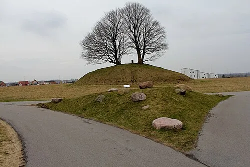 Kong Svends Høj Mountain, Egedal Kommune6.3 km SW
-
Maglebjerg Mountain, Rudersdal Kommune9.7 km NE
-
Sandbjerg Mountain, Rudersdal Kommune9.6 km NE
-
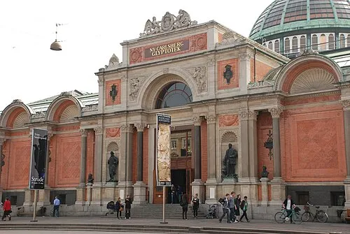 Ny Carlsberg Glyptotek Museum, Indre By18 km SE
-
Stenesknold Mountain, Frederikssund Kommune12 km NW
-
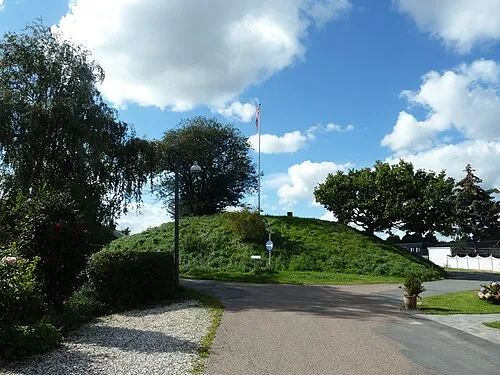 Valhøj Mountain, Rødovre Kommune13 km SE
-
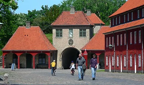 Kastellet Historic site, Indre By17 km SE
Sources & licences
Data last updated: · 2 independent sources