Skotterup
Located in Helsingør Kommune, Capital Region Coordinates: 56°00′07″ N 12°34′22″ E
- Elevation
- 8 m
- above sea level
- Local time
- UTC+01:00
- Europe/Copenhagen · UTC+01:00
About Skotterup
Skotterup is a village. Location: Helsingør Kommune, Capital Region. Elevation: 8 m.
Skotterup is a former village and current neighbourhood located in the southern part of Helsingør, Denmark. It is located between Snekkersten to the north and Espergærde to the south and belongs to Snekkersten postal district (3070, Snekkersten). Skotterup consists of an approximately 100 metres long stretch of the Strandvejen coastal road. It is located approximately 200 metres south of Snekkersten station.
Read more on Wikipedia Text: Wikipedia contributors · CC BY-SA 4.0 · shortened
In comparison
- Nearest larger town: Espergærde, 2 km SW
- 4 sights and natural places within 10 km Egebæksvang Kirke, Marienlyst Castle
Nearby attractions & nature
Everything nearby-
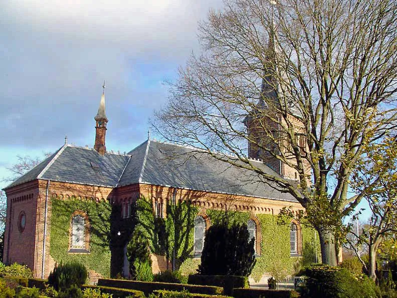 Egebæksvang Kirke Attraction, Helsingør Kommune1.1 km SW
-
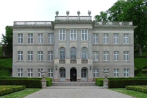 Marienlyst Castle Historic site, Helsingør Kommune4.8 km N
-
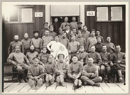 Police Custody Camp Horserød Historic site, Helsingør Kommune7.6 km NW
-
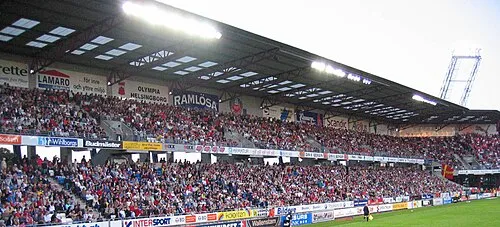 Olympia Landmark, Helsingborg9.9 km NE
-
Maglebjerg Mountain, Rudersdal Kommune18 km S
-
Sandbjerg Mountain, Rudersdal Kommune19 km S
Sources & licences
Data last updated: · 2 independent sources