Høsterkøb
Located in Rudersdal Kommune, Capital Region Coordinates: 55°51′23″ N 12°28′54″ E
- Population
- 312
- 312
- Elevation
- 56 m
- above sea level
- Local time
- UTC+01:00
- Europe/Copenhagen · UTC+01:00
About Høsterkøb
Høsterkøb is a village. Location: Rudersdal Kommune, Capital Region. Population: 312. Elevation: 56 m.
Høsterkøb is a village in Rudersdal Municipality, some 20 kilometres (12 mi) north of central Copenhagen, Denmark. It is bounded on the south by Rude Forest and on the north by open fields.
Read more on Wikipedia Text: Wikipedia contributors · CC BY-SA 4.0 · shortened
In comparison
- No. 5 of 5 places in Rudersdal Kommune by population
- Nearest larger town: Ravnsnæs, 2 km NW
- 4 sights and natural places within 10 km Maglebjerg, Sandbjerg
Nearby attractions & nature
Everything nearby-
Maglebjerg Mountain, Rudersdal Kommune1.2 km SW
-
Sandbjerg Mountain, Rudersdal Kommune2.1 km S
-
Højnæsbjerg Mountain, Gladsaxe Municipality9.7 km S
-
Ulvedale Natural site, Lyngby-Tårbæk Kommune9.9 km SE
-
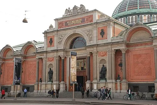 Ny Carlsberg Glyptotek Museum, Indre By21 km S
-
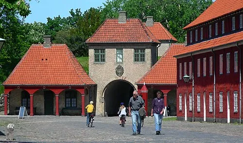 Kastellet Historic site, Indre By20 km S
Sources & licences
Data last updated: · 2 independent sources