Tørring
Located in Hedensted Kommune, Central Jutland Coordinates: 55°51′14″ N 9°29′03″ E
- Elevation
- 56 m
- above sea level
- Local time
- UTC+01:00
- Europe/Copenhagen · UTC+01:00
About Tørring
Tørring is a village. Location: Hedensted Kommune, Central Jutland. Elevation: 56 m.
Tørring is a town, with a population of 2,917 (1 January 2026), in Hedensted Municipality, Central Denmark Region in Denmark. It is located 27 km west of Horsens, 20 km north of Vejle, 24 km east of Give and 20 km northwest of Hedensted. Tørring Church was built in 1200. The characteristic octagonal dome of the church tower is from the beginning of the 17th century. Tørring is located at the Gudenå, about 10 km southeast of its spring, from where canoeing on the river is possible.
Read more on Wikipedia Text: Wikipedia contributors · CC BY-SA 4.0 · shortened
In comparison
Nearby attractions & nature
Everything nearby-
Brohøj Mountain, Hedensted Kommune11 km SE
-
Bavnbjerg Mountain, Vejle Kommune11 km SE
-
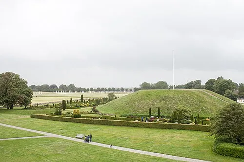 Thyras Høj Mountain, Vejle Kommune12 km S
-
Grejs Dal Natural site, Vejle Kommune12 km S
-
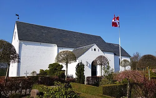 Hover Kirke Attraction, Vejle Kommune13 km S
-
Bavnehøj Mountain, Horsens Kommune13 km NE
Sources & licences
Data last updated: · 2 independent sources