Randers
Located in Randers Kommune, Central Jutland Coordinates: 56°27′39″ N 10°02′11″ E
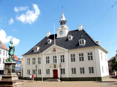
- Population
- 62,802
- 62.8K
- Elevation
- 12 m
- above sea level
- Local time
- UTC+01:00
- Europe/Copenhagen · UTC+01:00
About Randers
Randers is a city. Location: Randers Kommune, Central Jutland. Population: 62,802. Elevation: 12 m.
Randers (Danish: [ˈʁɑnɐs] ) is a city in northeast of the Jutland peninsula. It is Denmark's 7th largest city, with a population of 64,764 (as of 1 January 2026). Randers is the main town and administration center of the Randers Municipality. By road it is 38.5 kilometres (23.9 mi) north of Aarhus, 43.8 kilometres (27.2 mi) east of Viborg, and 224 kilometres (139 mi) northwest of Copenhagen.
Read more on Wikipedia Text: Wikipedia contributors · CC BY-SA 4.0 · shortened
At a glance
- Built
- 11th century
- Area
- 800 km²
Source: Wikidata
In comparison
- Most populous of 5 places in Randers Kommune
- Nearest larger town: Aarhus, 36 km S
Nearby attractions & nature
Everything nearby-
Bavnshøj Mountain, Favrskov Kommune17 km SW
-
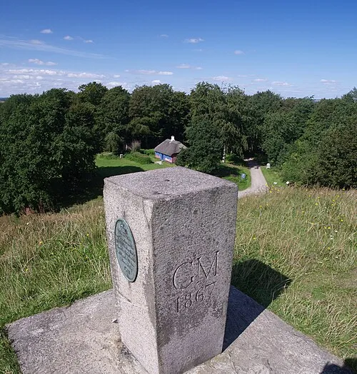 Hohøj Mountain, Mariagerfjord Kommune21 km N
-
Helligbjerg Mountain, Norddjurs Kommune18 km E
-
Tothøj Mountain, Syddjurs Kommune21 km SE
-
Vorning Bavnehøj Mountain, Viborg Kommune20 km NW
-
Volshøj Mountain, Favrskov Kommune23 km SW
-
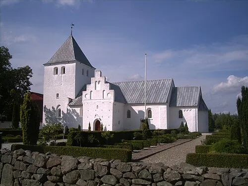 Estruplund Kirke Attraction, Norddjurs Kommune22 km NE
Sources & licences
Data last updated: · 2 independent sources