Mejlesholm
Located in Samsø Kommune, Central Jutland Coordinates: 55°53′57″ N 10°38′47″ E
- Elevation
- 0 m
- above sea level
- Local time
- UTC+01:00
- Europe/Copenhagen · UTC+01:00
About Mejlesholm
Mejlesholm is an island. Location: Samsø Kommune, Central Jutland.
At a glance
- Area
- 16 ha
Source: Wikidata
In comparison
- 11 sights and natural places within 10 km Hjortholm, Eskeholm
Nearest towns and villages
Nearby attractions & nature
Everything nearby-
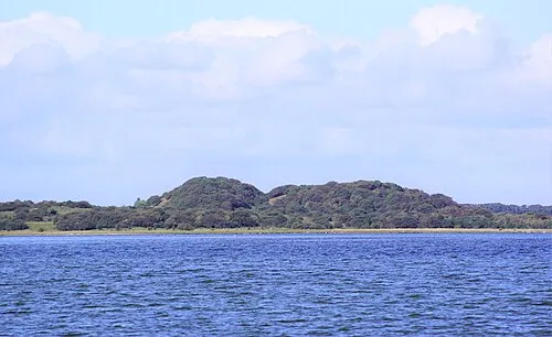 Hjortholm Island, Samsø Kommune0.9 km SW
-
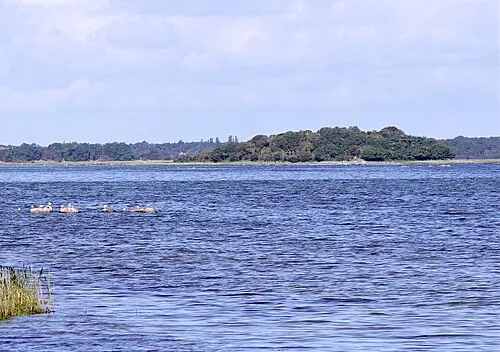 Eskeholm Island, Samsø Kommune1.5 km S
-
Sværm Island, Samsø Kommune1.7 km W
-
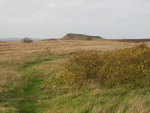 Hønsepold Island, Samsø Kommune2.4 km NE
-
Store Vorbjerg Mountain, Samsø Kommune3.2 km W
-
Lindholm Island, Samsø Kommune4.3 km NE
-
Bøgebjerg Mountain, Samsø Kommune5.1 km SW
-
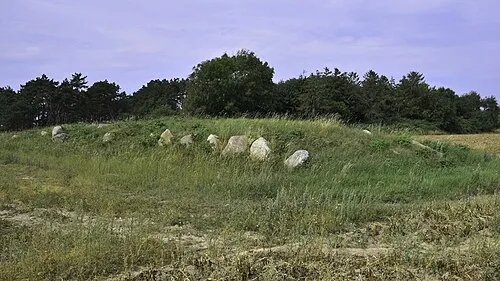 Nørre Volshøj Landmark, Samsø Kommune3.8 km SW
Sources & licences
Data last updated: · 2 independent sources