Struer Municipality
Located in Struer Kommune, Central Jutland Coordinates: 56°29′31″ N 8°35′38″ E
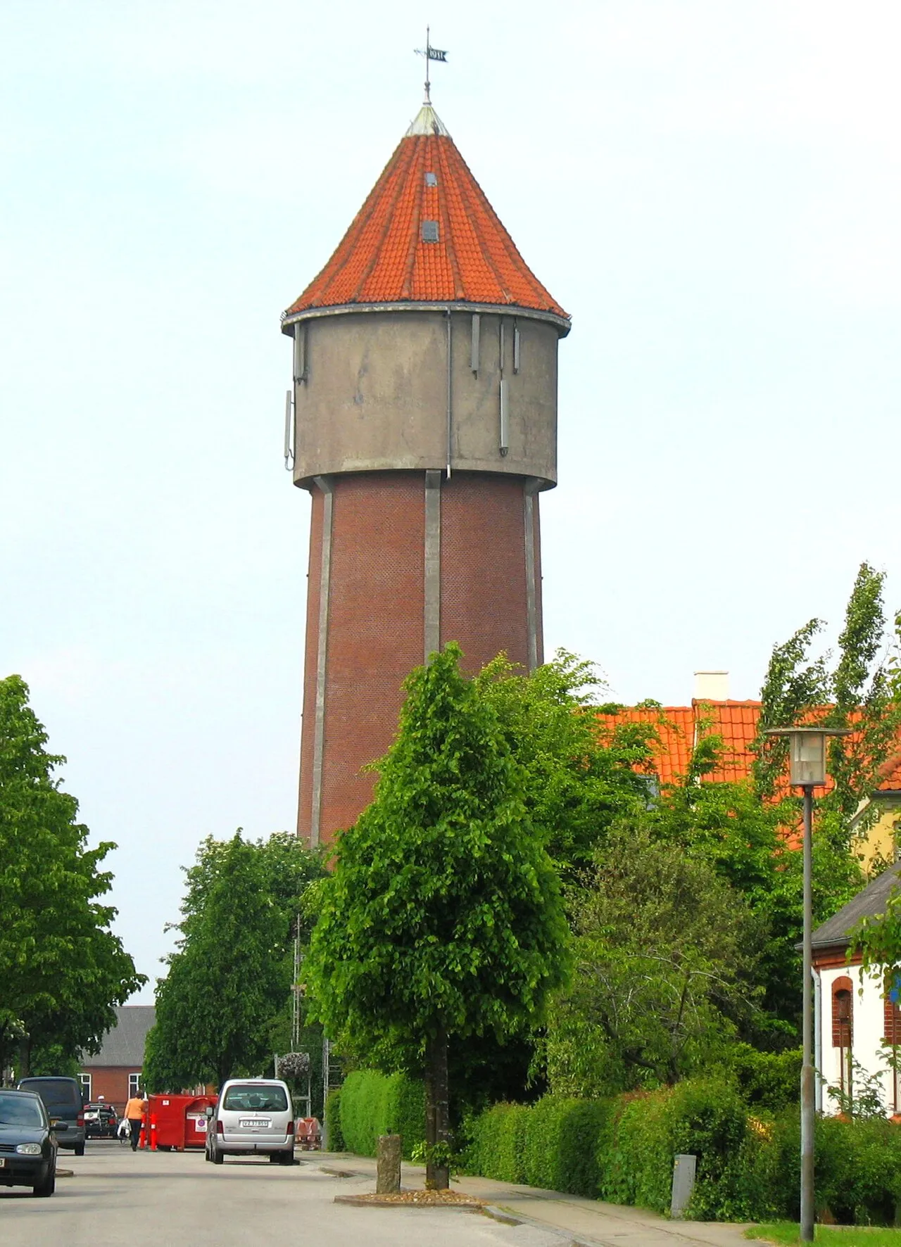
- Population
- 11,317
- 11.3K
- Elevation
- 4 m
- above sea level
- Local time
- UTC+01:00
- Europe/Copenhagen · UTC+01:00
About Struer Municipality
Struer Municipality is a city. Location: Struer Kommune, Central Jutland. Population: 11,317. Elevation: 4 m.
Struer is the main town of the kommune of Struer, Region Midtjylland, Denmark with a population of 9,840 (1 January 2026). The town of Struer owes its growth to the railroad, which arrived in 1865 with Jutland's first railroad line from Århus/Randers over Viborg to Skive and Struer.
Read more on Wikipedia Text: Wikipedia contributors · CC BY-SA 4.0 · shortened
In comparison
- Nearest larger town: Holstebro, 15 km S
- 2 sights and natural places within 10 km Handbjerg Kirke, Anglandshøj
Nearby attractions & nature
Everything nearby-
Handbjerg Kirke Attraction, Holstebro Kommune9.3 km SE
-
Sunddraget Natural site, Struer Kommune11 km N
-
Anglandshøj Mountain, Lemvig Kommune9.8 km SW
-
Ryde Bavnehøj Mountain, Holstebro Kommune15 km SE
-
Fuglholm Island, Struer Kommune21 km N
-
Bavnehøj Mountain, Lemvig Kommune18 km NW
-
Yllebjerg Mountain, Herning Kommune22 km SE
-
Trandum Kirke Attraction, Holstebro Kommune24 km E
Sources & licences
Data last updated: · 2 independent sources