Starup
Located in Haderslev Kommune, Region South Denmark Coordinates: 55°14′27″ N 9°32′06″ E
- Population
- 2,091
- 2.1K
- Elevation
- 21 m
- above sea level
- Local time
- UTC+01:00
- Europe/Copenhagen · UTC+01:00
About Starup
Starup is a village. Location: Haderslev Kommune, Region South Denmark. Population: 2,091. Elevation: 21 m.
Starup (German: Starup) is a town and satellite community to Haderslev, with a population of 2,600 (1 January 2026), on the southern side of the narrow inlet of Haderslev Fjord. It is located 3 km east of Haderslev in Haderslev Municipality, Region of Southern Denmark in Denmark. Sønder Starup Church is located on the northern outskirts of the town at the shore of Haderslev Fjord.
Read more on Wikipedia Text: Wikipedia contributors · CC BY-SA 4.0 · shortened
In comparison
- No. 4 of 5 places in Haderslev Kommune by population
- Nearest larger town: Haderslev, 3 km W
Nearby attractions & nature
Everything nearby-
Rævshalen Beach, Haderslev Kommune9.6 km SE
-
Pothøj Mountain, Haderslev Kommune13 km SW
-
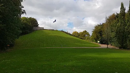 Knivsbjerg Mountain, Aabenraa Kommune13 km SW
-
Låddenbjerg Mountain, Aabenraa Kommune12 km S
-
Linderum Island, Haderslev Kommune13 km NE
-
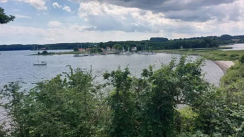 Kalvø Island, Aabenraa Kommune14 km S
Sources & licences
Data last updated: · 2 independent sources