Kerteminde
Located in Kerteminde Kommune, Region South Denmark Coordinates: 55°26′57″ N 10°39′28″ E
- Population
- 5,748
- 5.7K
- Elevation
- 5 m
- above sea level
- Local time
- UTC+01:00
- Europe/Copenhagen · UTC+01:00
About Kerteminde
Kerteminde is a city. Location: Kerteminde Kommune, Region South Denmark. Population: 5,748. Elevation: 5 m.
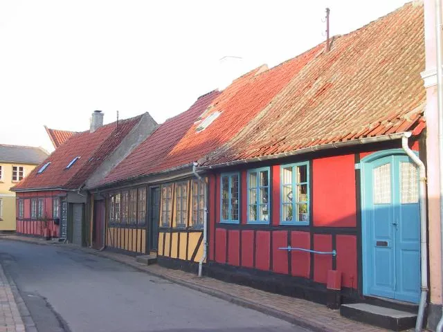
Kerteminde (nickname: Min Amandas by, i.e. My Amanda's town), is a town in central Denmark on Kerteminde Bay, located in Kerteminde Municipality on the island of Funen. The town has a population of 6,150 (1 January 2026). It is a small harbor town surrounded by farms. Kerteminde contains a fish restaurant, Rudolf Mathis, the Viking museum Ladby, the Johannes Larsen Museum, and the research and exhibition institution for fish and porpoises Fjord & Bælt.
Read more on Wikipedia Text: Wikipedia contributors · CC BY-SA 4.0 · shortened
In comparison
- Most populous of 4 places in Kerteminde Kommune
- Nearest larger town: Nyborg, 17 km SE
- 6 sights and natural places within 10 km Kongshøj, Munkebo Bakke
Nearby attractions & nature
Everything nearby-
Kongshøj Mountain, Kerteminde Kommune2.4 km NW
-
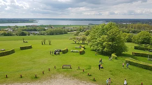 Munkebo Bakke Mountain, Kerteminde Kommune5.8 km W
-
Borgbakke Mountain, Kerteminde Kommune6.7 km N
-
Flintholm Island, Kerteminde Kommune8.1 km NW
-
Skoven Natural site, Kerteminde Kommune9.2 km NW
-
 Tornø Island, Kerteminde Kommune11 km W
-
Digerbanke Mountain, Kerteminde Kommune11 km N
-
Roholm Island, Kerteminde Kommune9.6 km W
Sources & licences
Data last updated: · 2 independent sources