Rønnede
Located in Faxe Kommune, Region Zealand Coordinates: 55°15′26″ N 12°01′17″ E
- Population
- 2,746
- 2.7K
- Elevation
- 66 m
- above sea level
- Local time
- UTC+01:00
- Europe/Copenhagen · UTC+01:00
About Rønnede
Rønnede is a village. Location: Faxe Kommune, Region Zealand. Population: 2,746. Elevation: 66 m.
Rønnede is a town in Faxe Municipality, in Region Zealand, Denmark. It is located just east of exit 37 at the European route E47 motorway, 25 km southwest of Køge, 6 km west of Faxe, 30 km northeast of Vordingborg and 19 km east of Næstved. Prior to the Kommunalreformen ("The Municipality Reform" of 2007), Rønnede was the municipal seat of Rønnede Municipality.
Read more on Wikipedia Text: Wikipedia contributors · CC BY-SA 4.0 · shortened
In comparison
- No. 3 of 5 places in Faxe Kommune by population
- Nearest larger town: Fakse, 6 km E
- 4 sights and natural places within 10 km Kobanke, Mørkebjerg
Airports nearest to Rønnede
- Copenhagen Roskilde Airport (RKE) Roskilde 37 km
- Copenhagen Kastrup Airport (CPH) Copenhagen 57 km
- Malmö Sturup Airport (MMX) Malmö 91 km
Straight-line distance; airports with scheduled flights only. Source: OurAirports (public domain).
Nearby attractions & nature
Everything nearby-
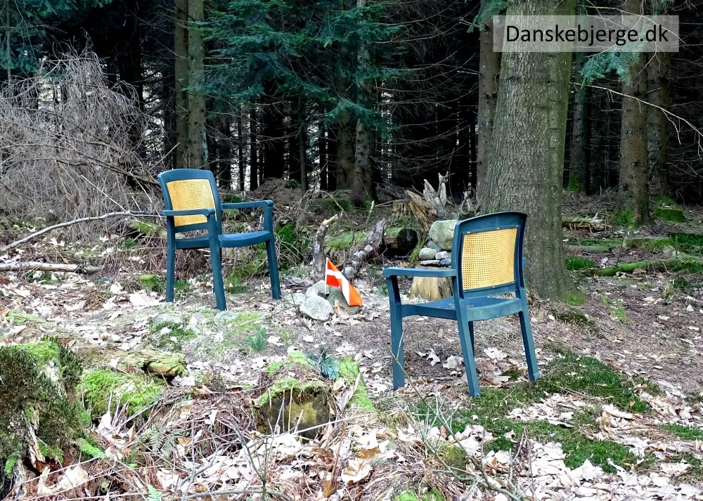 Kobanke Mountain, Faxe Kommune3.8 km S
-
Mørkebjerg Mountain, Faxe Kommune4.2 km S
-
Pugebjerg Mountain, Faxe Kommune5.1 km S
-
Overdrevsbakke Mountain, Faxe Kommune5 km W
-
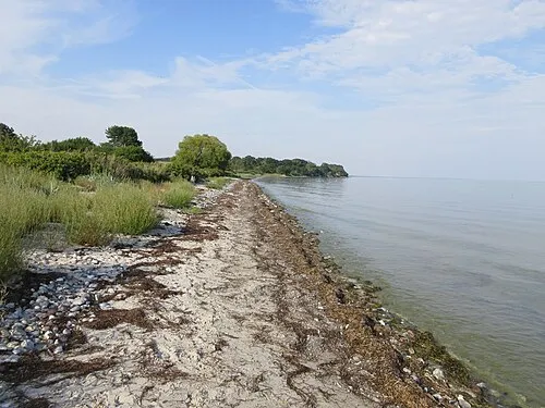 Feddet Natural site, Faxe Kommune13 km S
-
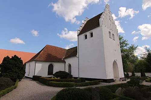 Tureby Kirke Attraction, Faxe Kommune11 km NE
Sources & licences
Data last updated: · 2 independent sources