Glænø
Located in Slagelse Kommune, Region Zealand Coordinates: 55°11′44″ N 11°26′04″ E
- Elevation
- 1 m
- above sea level
- Local time
- UTC+01:00
- Europe/Copenhagen · UTC+01:00
About Glænø
Glænø is an island. Location: Slagelse Kommune, Region Zealand.
Glænø is a small Danish island off the west coast of Zealand between Basnæs Nor and Karrebæksminde Bugt. With an area of 5.6 square kilometres (2.2 square miles), as of 1 January 2010 it has a population of 57. Now part of Slagelse Municipality, it is connected to Stubberup, Zealand, by road over a dam some 100 metres (330 feet) long. Agriculture is the island's main source of income and there are several farms at the centre of the island.
Read more on Wikipedia Text: Wikipedia contributors · CC BY-SA 4.0 · shortened
At a glance
- Length
- 6.8 km
- Area
- 5.6 km²
Source: Wikidata
In comparison
- 7 sights and natural places within 10 km Bavnebanke, Ormø
Nearest towns and villages
-
Bisserup Village, Slagelse Kommune4.1 km E
-
Klinteby Frihed Town, Næstved Kommune10 km E
-
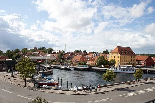 Skælskør Town, Slagelse Kommune11 km NW
-
Sandved Village, Næstved Kommune9.3 km NE
-
Fuglebjerg Village, Næstved Kommune14 km NE
-
Boeslunde Village, Slagelse Kommune16 km NW
Nearby attractions & nature
Everything nearby-
Bavnebanke Mountain, Slagelse Kommune0.7 km S
-
Ormø Island, Slagelse Kommune1.7 km NE
-
Sandholm Island, Slagelse Kommune2.2 km W
-
Endebjerg Mountain, Slagelse Kommune7.1 km N
-
Brakhøj Mountain, Slagelse Kommune8.3 km W
-
Sevedø Island, Slagelse Kommune8 km W
-
Stenmagle Bjerg Mountain, Slagelse Kommune9.6 km NW
-
Møllebakke Mountain, Slagelse Kommune12 km NW
More lakes, rivers and coasts in Denmark
-
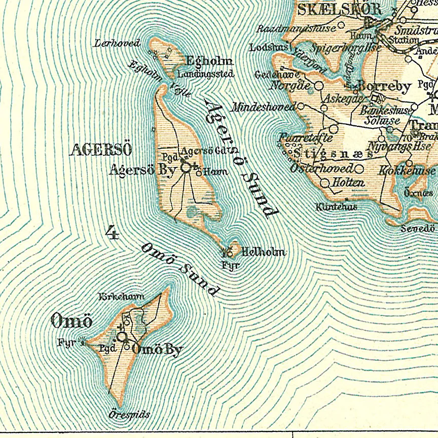 Egholm Island, Slagelse Kommune17 km W
-
Næsbystrand Beach, Slagelse Kommune27 km NW
-
Bildsøstrand Beach, Slagelse Kommune32 km NW
Sources & licences
Data last updated: · 2 independent sources