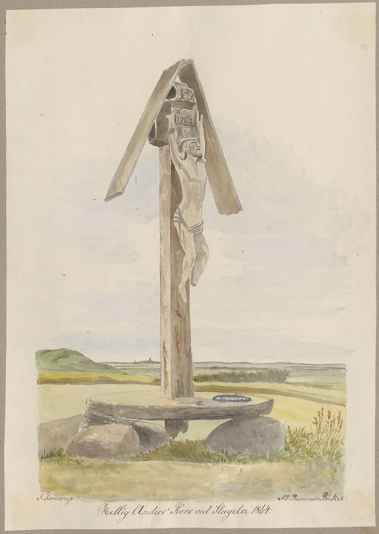
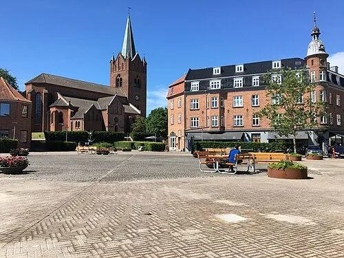
Hellig Anders Kors
Located in Slagelse Kommune, Region Zealand Coordinates: 55°23′09″ N 11°18′16″ E
- Local time
- UTC+01:00
- Europe/Copenhagen · UTC+01:00
- Elevation
- 44 m
- above sea level
About Hellig Anders Kors
Hellig Anders Kors is a landmark. Location: Slagelse Kommune, Region Zealand.
In comparison
- 3 sights and natural places within 10 km Næsbystrand, Bavnen
Nearby attractions & nature
Everything nearby-
Næsbystrand Beach, Slagelse Kommune6 km W
-
Bavnen Mountain, Slagelse Kommune9.2 km N
-
Bildsøstrand Beach, Slagelse Kommune10 km NW
-
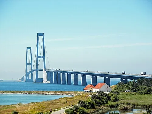 Great Belt Bridge Landmark, Slagelse Kommune22 km W
-
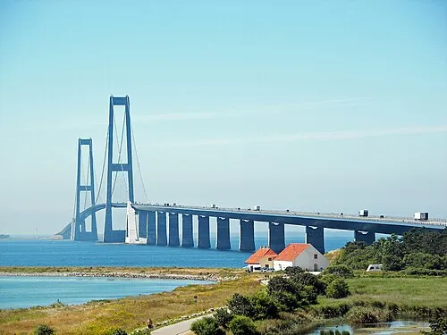 Storebælt Bridge Landmark, Slagelse Kommune18 km W
-
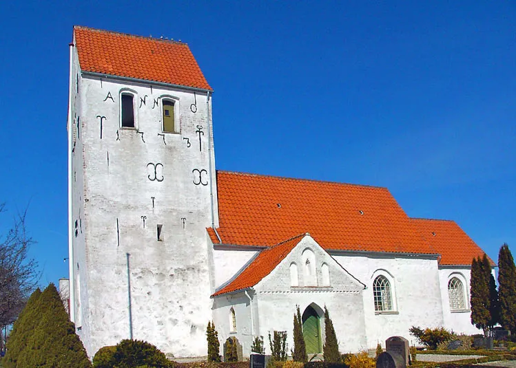 Hallenslev Kirke Attraction, Kalundborg Kommune18 km N
-
Stenmagle Bjerg Mountain, Slagelse Kommune13 km S
-
Bavnen Mountain, Kalundborg Kommune12 km NW
Nearest towns and villages
-
 Slagelse City, Slagelse Kommune3.7 km NE
-
Forlev Village, Slagelse Kommune3.1 km SW
-
Havrebjerg Village, Slagelse Kommune6.9 km N
-
Boeslunde Village, Slagelse Kommune9.7 km S
Sources & licences
Data last updated: · 2 independent sources