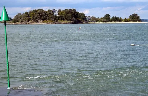
Baie d'Abraham
Located in France Coordinates: 47°31′27″ N 2°51′58″ W
- Elevation
- 8 m
- above sea level
- Local time
- UTC+01:00
- Europe/Paris · UTC+01:00
About Baie d'Abraham
Baie d'Abraham is a natural site. Location: France.
In comparison
- 55 sights and natural places within 10 km Plage de Kerver, Plage du Gohvelin
Nearest towns and villages
-
Arzon Village, Arrondissement of Vannes3.3 km NW
-
Saint-Gildas-de-Rhuys Village, Arrondissement of Vannes3.4 km SE
-
Saint-Gildas-de-Rhuys Village, Saint-Gildas-de-Rhuys3.3 km SE
-
Arzon Village, Arzon3.6 km NW
-
La Saline Village, Saint-Gildas-de-Rhuys1.1 km E
-
Tumiac Village, Arzon1.5 km N
Nearby attractions & nature
Everything nearby-
Plage de Kerver Beach, Saint-Gildas-de-Rhuys0.6 km N
-
Plage du Gohvelin Beach, Saint-Gildas-de-Rhuys1.6 km SE
-
Anse du Logéo Natural site, Brittany Region3 km NE
-
Baie du Lindin Natural site, Brittany Region3.9 km NE
-
Plage de Kercambre Beach, Saint-Gildas-de-Rhuys5.1 km SE
-
 Île Govihan Island, Brittany Region4.1 km NE
-
Rhuys Peninsula Natural site, Morbihan4.9 km E
-
Île Brannec Island, Île-aux-Moines4.4 km N
Sources & licences
Data last updated: