Douron
Located in Côtes-d'Armor, Brittany Region Coordinates: 48°40′30″ N 3°38′15″ W
- Elevation
- 44 m
- above sea level
- Local time
- UTC+01:00
- Europe/Paris · UTC+01:00
About Douron
Douron is a river. Location: Côtes-d'Armor, Brittany Region.
In comparison
- 13 sights and natural places within 10 km Chapelle Notre-Dame-des-Joies, Château de Goasmelquin
Nearest towns and villages
-
Plestin-les-Grèves Village, Arrondissement of Lannion2.1 km S
-
Locquirec Village, Arrondissement of Morlaix1.9 km NW
-
Plestin-les-Grèves Village, Plestin-les-Grèves2 km S
-
Locquirec Village, Locquirec2 km N
-
Toull Ar C'Hirri Village, Plestin-les-Grèves0.6 km S
-
Toul an Héry Village, Plestin-les-Grèves1 km S
Nearby attractions & nature
Everything nearby-
Chapelle Notre-Dame-des-Joies Attraction, Guimaëc2.9 km W
-
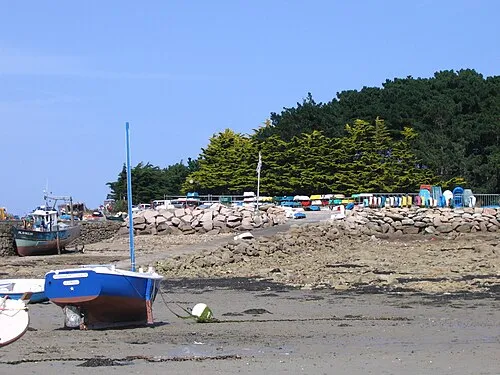 Île Grande Island, Brittany Region15 km N
-
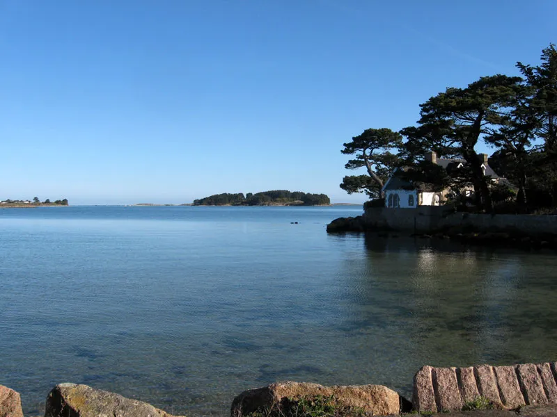 Île Aval Island, Côtes-d'Armor15 km NE
-
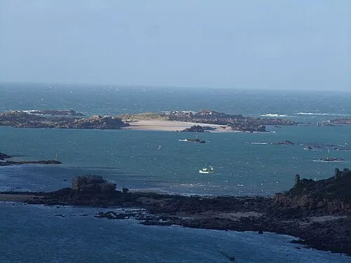 Molène Island, Brittany Region12 km N
-
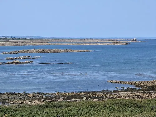 Île Morville Island, Brittany Region16 km N
-
Île Toënno Island, Brittany Region13 km N
-
Île Losquet Island, Brittany Region14 km N
-
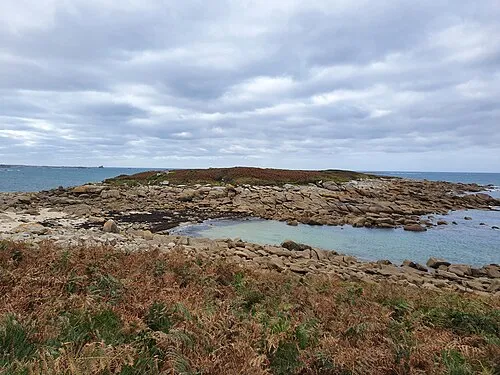 Île du Bivic Island, Côtes-d'Armor18 km NE
Sources & licences
Data last updated: