Tromorgant
Located in Finistère, Brittany Region Coordinates: 48°34′00″ N 3°48′00″ W
- Elevation
- 25 m
- above sea level
- Local time
- UTC+01:00
- Europe/Paris · UTC+01:00
About Tromorgant
Tromorgant is a river. Location: Finistère, Brittany Region.
In comparison
- 11 sights and natural places within 10 km Château du Mur, Viaduc de Morlaix
Airports nearest to Tromorgant
- Brest Bretagne airport (BES) Brest 48 km
- Guernsey Airport (GCI) Saint Peter Port 130 km
- Jersey Airport (JER) St. Peter 138 km
Straight-line distance; airports with scheduled flights only. Source: OurAirports (public domain).
Nearest towns and villages
-
Morlaix Village, Arrondissement of Morlaix2.4 km NW
-
Saint-Divy Village, Plougonven<0.1 km N
-
Saint-Martin-des-Champs Village, Arrondissement of Morlaix3.4 km W
-
Plourin-lès-Morlaix Village, Arrondissement of Morlaix3.7 km S
-
Morlaix Town, Morlaix2.4 km NW
-
Plourin-lès-Morlaix Village, Plourin-lès-Morlaix3.9 km S
Nearby attractions & nature
Everything nearby-
Château du Mur Historic site, Plouigneau2.3 km E
-
Viaduc de Morlaix Landmark, Morlaix2.5 km NW
-
Artothèque Les Moyens du Bord Museum, Morlaix3.2 km NW
-
Île Stérec Island, Brittany Region13 km N
-
Dossen River, Finistère7.6 km NW
-
Dourdu River, Brittany Region7.7 km NW
-
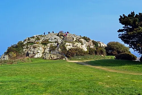 Îlot Sainte-Anne Island, Saint-Pol-de-Léon18 km NW
-
Île de Callot Island, Brittany Region16 km NW
More lakes, rivers and coasts in France
-
Ruisseau le Coatoulsach River, Finistère8.8 km W
-
Penzé River, Finistère10 km W
-
Îlot Tisaoson Island, Île-de-Batz23 km NW
-
Dourcane River, Finistère22 km SW
-
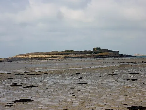 Île Cézon Island, Landéda58 km W
-
Flèche River, Finistère37 km W
Sources & licences
Data last updated: