Île de Mancel
Located in Brittany Region, France Coordinates: 47°35′59″ N 2°43′26″ W
- Elevation
- 4 m
- above sea level
- Local time
- UTC+01:00
- Europe/Paris · UTC+01:00
About Île de Mancel
Île de Mancel is an island. Location: Brittany Region, France.
In comparison
- 56 sights and natural places within 10 km Île de Béchit, plage de la Villeneuve
Nearest towns and villages
-
Séné Village, Arrondissement of Vannes2.4 km NW
-
Le Hézo Village, Arrondissement of Vannes2.2 km SE
-
Le Hézo Village, Le Hézo2.3 km SE
-
Saint-Armel Village, Arrondissement of Vannes3.2 km S
-
Séné Town, Séné2.4 km NW
-
Saint-Armel Village, Saint-Armel3.1 km S
Nearby attractions & nature
Everything nearby-
Île de Béchit Island, Séné0.6 km SW
-
plage de la Villeneuve Beach, Séné0.7 km SW
-
plage de Montsarrac Beach, Séné1 km S
-
Île Quistinic Island, Brittany Region1.4 km S
-
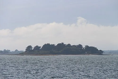 Île de Lern Island, Brittany Region3.1 km W
-
Île Tascon Island, Brittany Region2.3 km S
-
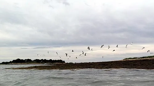 Île Pladic Island, Brittany Region3.8 km SW
-
Île de Boëd Island, Brittany Region3.1 km W
More lakes, rivers and coasts in France
-
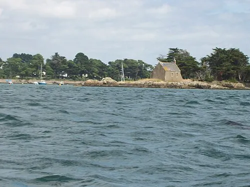 Île de Boëdic Island, Arradon4.6 km W
-
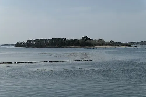 Île Drénec Island, Brittany Region6 km W
-
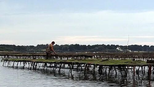 Île Iluric Island, Sarzeau6.5 km SW
-
Île Trohennec Island, Brittany Region5.1 km S
-
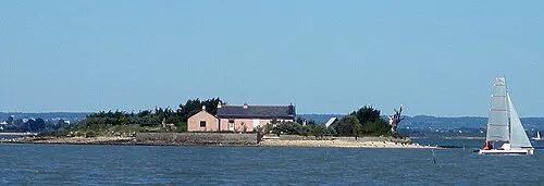 Île des Oeufs Island, Sarzeau6.6 km SW
-
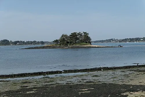 Île Mouchiose Island, Brittany Region7 km W
Sources & licences
Data last updated: