Île Plate
Located in Brittany Region, France Coordinates: 48°52′58″ N 3°29′53″ W
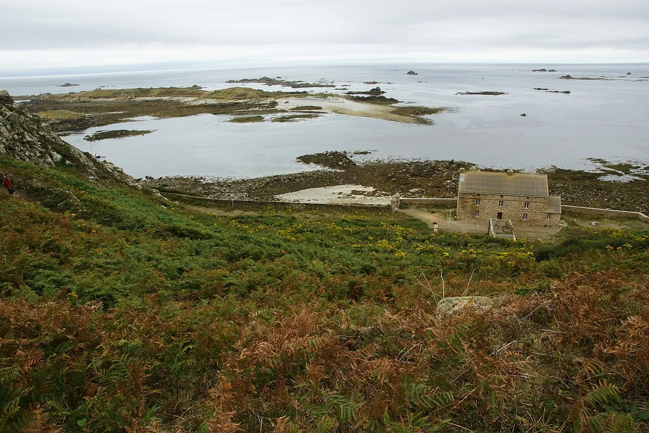
- Elevation
- 2 m
- above sea level
- Local time
- UTC+01:00
- Europe/Paris · UTC+01:00
About Île Plate
Île Plate is an island. Location: Brittany Region, France.
At a glance
- Area
- 5 ha
Source: Wikidata
In comparison
- 20 sights and natural places within 10 km Île aux Moines, Île de Bono
Nearest towns and villages
-
Trégastel Village, Arrondissement of Lannion7.4 km S
-
Perros-Guirec Village, Arrondissement of Lannion8.7 km SE
-
Trégastel Village, Trégastel7.4 km S
-
Sainte-Anne Village, Brittany Region5.5 km S
-
Trégastel-Plage Village, Brittany Region5.7 km S
-
Saint-Guirec Village, Perros-Guirec5.7 km S
Nearby attractions & nature
Everything nearby-
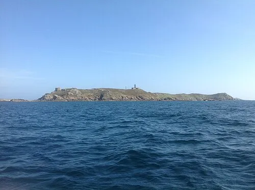 Île aux Moines Island, Brittany Region0.7 km SE
-
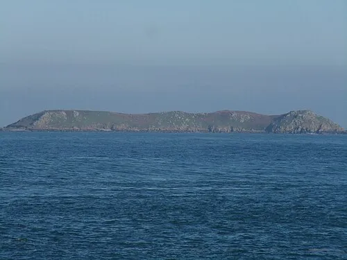 Île de Bono Island, Brittany Region1.3 km E
-
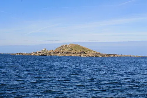 Île de Malban Island, Brittany Region2.7 km E
-
Les Sept Îles Island, Brittany Region2.4 km NE
-
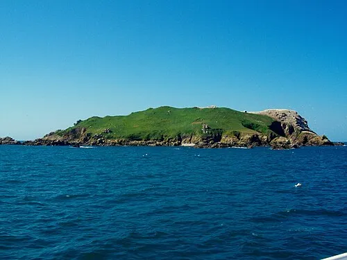 Île Rouzic Island, Brittany Region5.1 km E
-
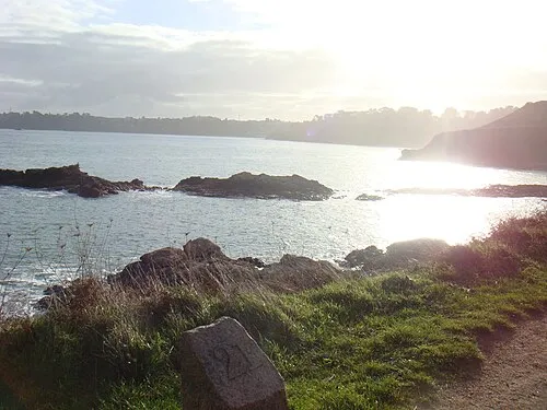 Île Renot Island, Brittany Region5.5 km S
-
Île Dhu Island, Côtes-d'Armor5 km S
-
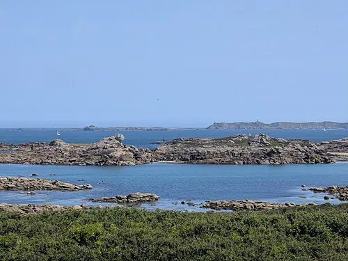 Île de Seigle Island, Brittany Region6.1 km SW
More lakes, rivers and coasts in France
-
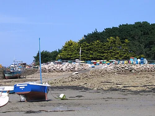 Île Grande Island, Brittany Region11 km SW
-
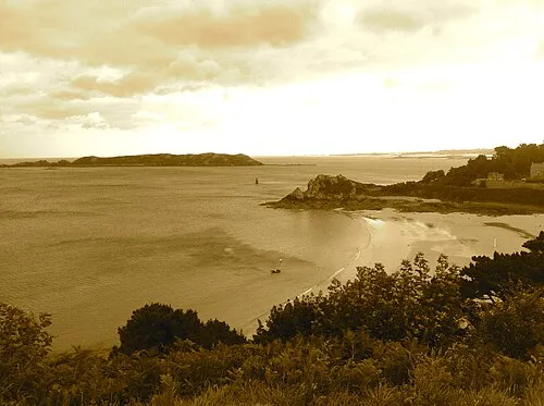 Île Tomé Island, Brittany Region8.4 km SE
-
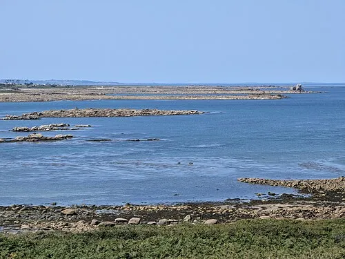 Île Morville Island, Brittany Region9.1 km SW
-
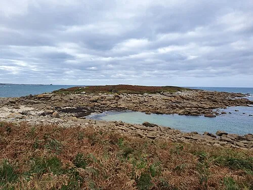 Île du Bivic Island, Côtes-d'Armor7.8 km S
-
Île Tanguy Island, Brittany Region6.8 km S
-
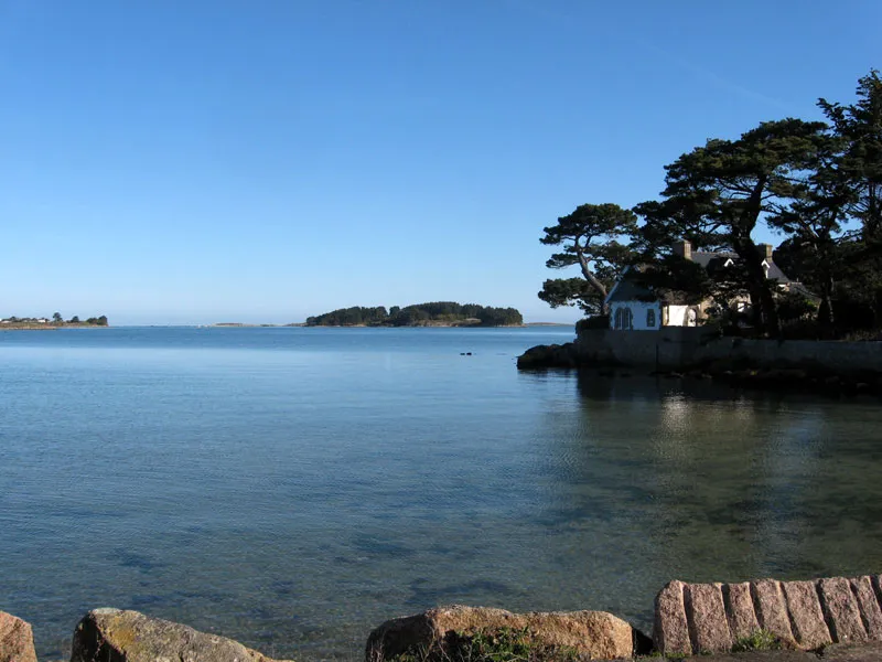 Île Aval Island, Côtes-d'Armor9.8 km SW
Sources & licences
Data last updated: · 2 independent sources