Île Raguenez
Located in Brittany Region, France Coordinates: 48°50′08″ N 3°01′08″ W
- Elevation
- 8 m
- above sea level
- Local time
- UTC+01:00
- Europe/Paris · UTC+01:00
About Île Raguenez
Île Raguenez is an island. Location: Brittany Region, France.
In comparison
- 18 sights and natural places within 10 km Île Biniguet, Île Logodec
Nearest towns and villages
-
Île-de-Bréhat Village, Arrondissement of Saint-Brieuc1.9 km NE
-
Ploubazlanec Village, Arrondissement of Guingamp4.1 km S
-
Le Goaréva Village, Île-de-Bréhat0.7 km E
-
Ploubazlanec Village, Ploubazlanec4 km S
-
Crec'H Tarec Village, Île-de-Bréhat1.4 km NE
-
Crec'H Kerrio Village, Île-de-Bréhat1.5 km NE
Nearby attractions & nature
Everything nearby-
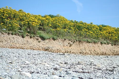 Île Biniguet Island, Brittany Region0.7 km N
-
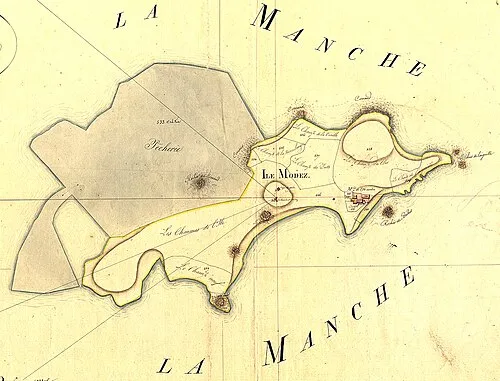 Île Modez Island, Brittany Region3.2 km NW
-
Île Logodec Island, Brittany Region2.1 km E
-
Île de Bréhat Island, Brittany Region2.2 km NE
-
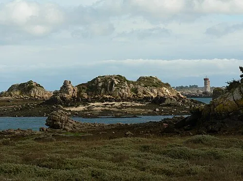 Île à Bois Island, Brittany Region4.1 km W
-
Anse de Gouern Natural site, Ploubazlanec3.2 km SW
-
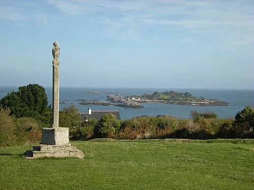 Île Saint-Rion Island, Brittany Region5 km SE
-
Anse de Launay Natural site, Ploubazlanec2.8 km S
Sources & licences
Data last updated: · 2 independent sources