Jean Menhir
Located in Brittany Region, France Coordinates: 47°20′38″ N 3°13′31″ W
- Local time
- UTC+01:00
- Europe/Paris · UTC+01:00
- Elevation
- 47 m
- above sea level
About Jean Menhir
Jean Menhir is a historic site. Location: Brittany Region, France.
In comparison
- 28 sights and natural places within 10 km Jeanne Menhir, Plage de Port-Donnant
Nearby attractions & nature
Everything nearby-
Jeanne Menhir Historic site, Brittany Region0.3 km SE
-
Île aux Goélands Island, Brittany Region2.3 km W
-
Église Saint-Nicolas Attraction, Sauzon3 km N
-
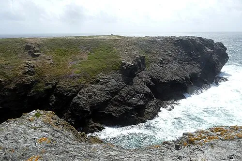 Îles er Hastellic Island, Brittany Region2.9 km W
-
Bois Trochu Natural site, Brittany Region2.7 km E
-
Grand Phare de Belle-Île Landmark, Brittany Region3.7 km S
-
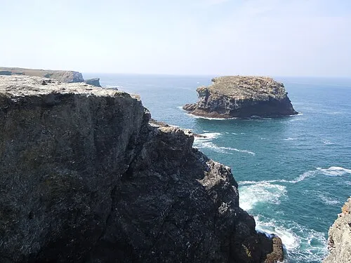 Île en Oulm Island, Brittany Region3.4 km NW
-
Plage de Port-Donnant Beach, Sauzon2.2 km SW
Nearest towns and villages
-
Le Petit Anvorte Village, Brittany Region0.1 km SW
-
Anvorte Village, Brittany Region0.4 km SW
-
Lanno Village, Brittany Region0.5 km N
-
Kerlédan Village, Brittany Region0.7 km W
Sources & licences
Data last updated: