Le Lué
Located in Brittany Region, France Coordinates: 47°41′10″ N 3°56′45″ W
- Local time
- UTC+01:00
- Europe/Paris · UTC+01:00
About Le Lué
Le Lué is a village. Location: Brittany Region, France.
In comparison
- Nearest larger town: Nevez, 19 km NE
- 12 sights and natural places within 10 km Île de Penfret, Île Guéotec
Nearby attractions & nature
Everything nearby-
Île Guéotec Island, Brittany Region3.7 km NW
-
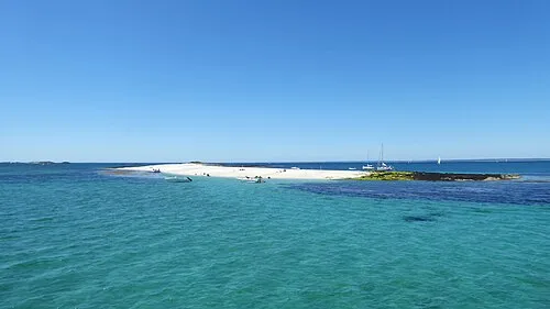 Île de Guiriden Island, Brittany Region4.7 km NW
-
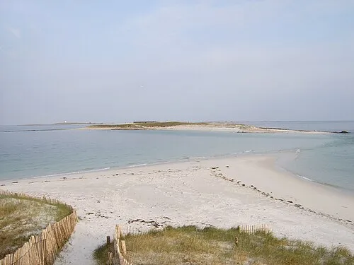 Île de Bananec Island, Brittany Region5.3 km NW
-
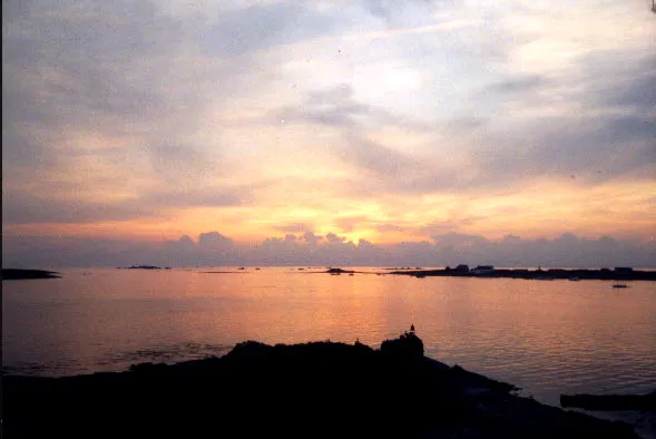 Île de Drénec Island, Brittany Region5.9 km NW
-
Île de Saint-Nicolas Island, Brittany Region5.3 km NW
-
Île de Penfret Island, Brittany Region3.4 km N
Sources & licences
Data last updated: