Saint-Éloi
Located in Morbihan, Brittany Region Coordinates: 47°32′06″ N 2°29′27″ W
- Elevation
- 3 m
- above sea level
- Local time
- UTC+01:00
- Europe/Paris · UTC+01:00
About Saint-Éloi
Saint-Éloi is a river. Location: Morbihan, Brittany Region.
In comparison
- 12 sights and natural places within 10 km Abbaye Notre-Dame de Prières, Étier de Billiers
Nearest towns and villages
Nearby attractions & nature
Everything nearby-
Étier de Billiers River, Morbihan2 km SW
-
Baie de Kervoyal Natural site, France3.8 km SW
-
Abbaye Notre-Dame de Prières Historic site, Billiers1.3 km S
-
Étang de Pémur Lake, Morbihan4 km N
-
Vilaine River, Morbihan4.5 km SE
-
Phare de Penlan Landmark, Billiers2.2 km S
-
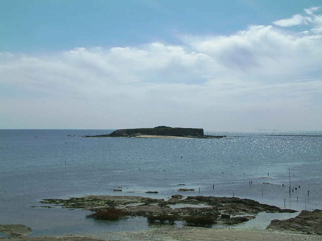 Île à Bacchus Island, France11 km S
-
Ruisseau de Kervily River, Morbihan5.4 km N
More lakes, rivers and coasts in France
-
Île de Rion Island, Damgan9.6 km W
-
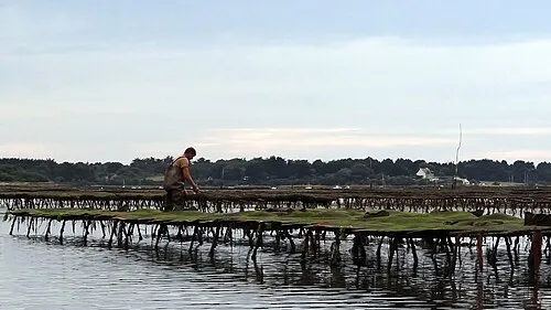 Île Iluric Island, Sarzeau23 km W
-
Ruisseau la Drayac River, Morbihan7.2 km W
-
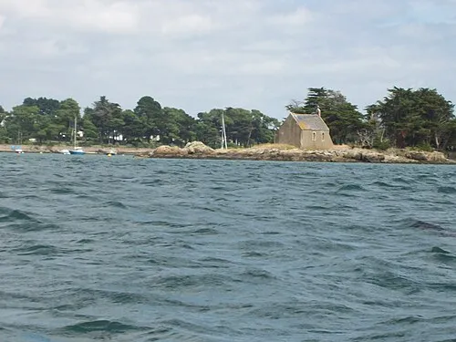 Île de Boëdic Island, Arradon24 km W
-
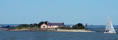 Île des Oeufs Island, Sarzeau22 km W
-
Île Godec Island, Sarzeau24 km W
Sources & licences
Data last updated: