Forêt de Val Chiara
Located in Upper Corsica, Corsica Coordinates: 41°55′10″ N 9°14′06″ E
- Elevation
- 791 m
- above sea level
- Local time
- UTC+01:00
- Europe/Paris · UTC+01:00
About Forêt de Val Chiara
Forêt de Val Chiara is a natural site. Location: Upper Corsica, Corsica.
In comparison
- 18 sights and natural places within 10 km Ruisseau de Luvana, Ruisseau de Casamintellu
Nearest towns and villages
Nearby attractions & nature
Everything nearby-
Punta Castellucciu Mountain, Chisa2.7 km SE
-
Monte Formicula Mountain, San-Gavino-di-Fiumorbo3.1 km NW
-
Ruisseau de Luvana River, Upper Corsica1.5 km SE
-
Punta Mozza Mountain, Palneca4 km N
-
Punta di Ghjuva Mountain, Serra-di-Fiumorbo4.5 km NE
-
Monte Malo Mountain, Solaro4.9 km S
-
Ruisseau de Casamintellu River, South Corsica2 km W
-
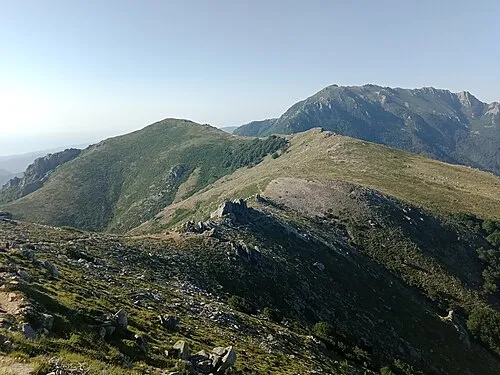 Punta di Campolongo Mountain, San-Gavino-di-Fiumorbo5.9 km N
Sources & licences
Data last updated: