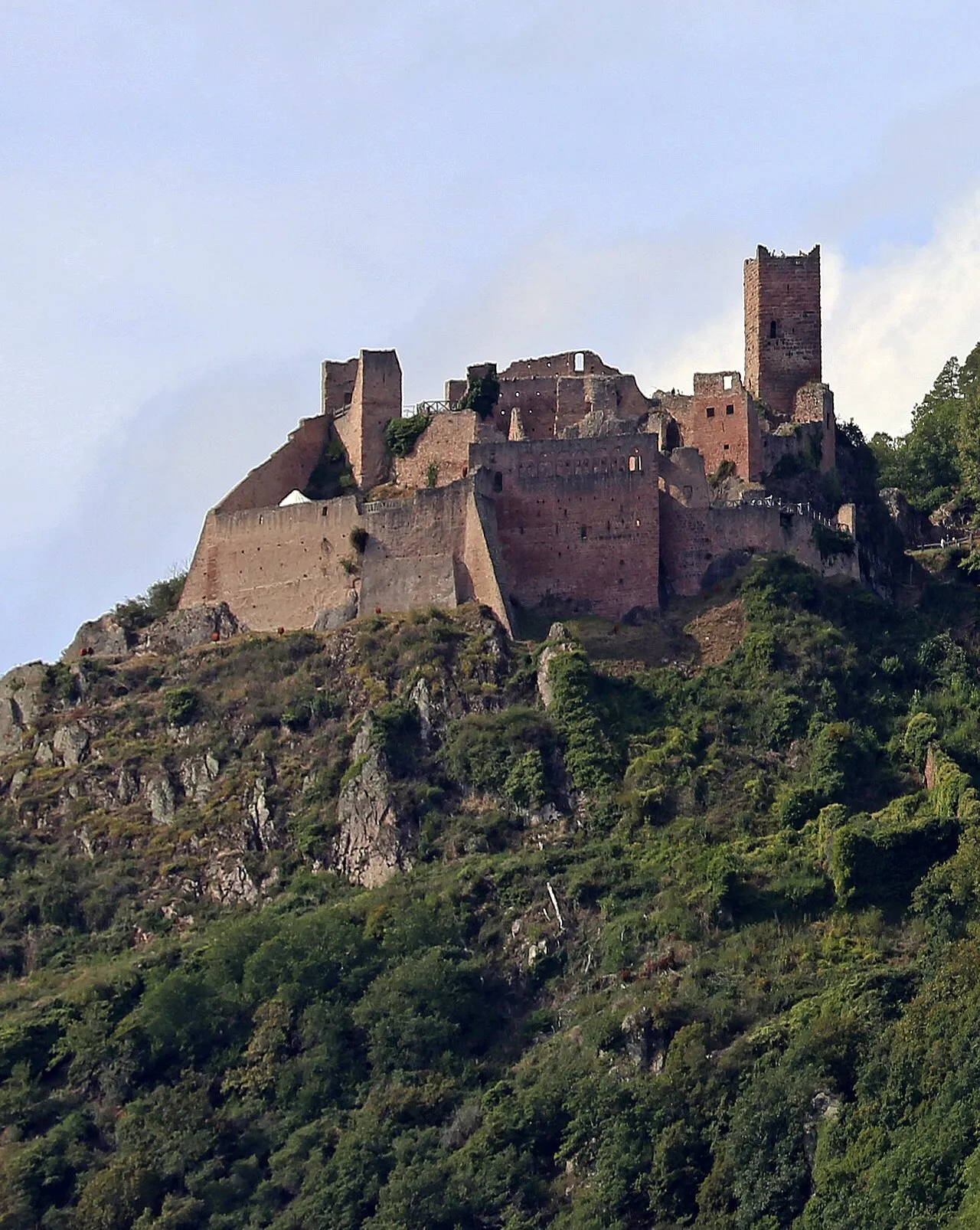
Château de Saint-Ulrich
Located in Grand Est, France Coordinates: 48°12′10″ N 7°18′19″ E
- Local time
- UTC+01:00
- Europe/Paris · UTC+01:00
- Elevation
- 493 m
- above sea level
About Château de Saint-Ulrich
Château de Saint-Ulrich is a historic site. Location: Grand Est, France.
The Château de Saint-Ulrich (also known as Château de Grand-Ribeaupierre or Ulrichsburg) is one of three castles (with the Girsberg and the Haut-Ribeaupierre) which overlooks the commune of Ribeauvillé in the Haut-Rhin département of France. It is situated at an altitude of 528 m. The present name of the site is from the chapel dedicated to Saint Ulrich of Augsburg which is found in the castle.
Read more on Wikipedia Text: Wikipedia contributors · CC BY-SA 4.0 · shortened
At a glance
- Built
- 12th century
- Heritage designation
- classified historical monument
Source: Wikidata
In comparison
- 23 sights and natural places within 10 km Château de Reichenberg, Bilstein
Nearby attractions & nature
Everything nearby-
Château de Reichenberg Historic site, Bergheim2.7 km NE
-
Bilstein Historic site, Riquewihr2.8 km W
-
Château de Bilstein Historic site, Grand Est2.8 km W
-
Parc des Cigognes Attraction, Grand Est2.9 km SE
-
Château de Reichenstein Historic site, Grand Est3.4 km SW
-
Château du Haut-Koenigsbourg Historic site, Orschwiller5.9 km NE
-
Ohirn Mountain, Rodern4.6 km N
-
Koenigsstuhl Mountain, Riquewihr4.6 km W
Nearest towns and villages
-
Ribeauvillé Village, Arrondissement de Colmar-Ribeauvillé1.3 km SE
-
Ribeauvillé Village, Ribeauvillé1.4 km SE
-
Hunawihr Village, Arrondissement de Colmar-Ribeauvillé2.5 km S
-
Hunawihr Village, Hunawihr2.5 km S
More sights in Grand Est
-
Markirch Concentration Camp (A 9) Historic site, Sainte-Marie-aux-Mines10 km NW
-
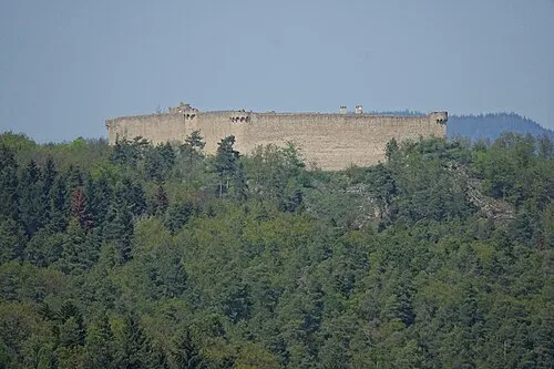 Château du Hohlandsbourg Historic site, Wintzenheim16 km S
-
Ancien Monastère de Lièpvre Historic site, Lièpvre8 km N
-
Volerie des Aigles Attraction, Grand Est8.5 km NE
-
La Montagne des Singes Attraction, Grand Est8.7 km NE
-
Selestat transmitter 2, Mast South Landmark, Sélestat10 km NE
Sources & licences
Data last updated: · 2 independent sources