Couvent Saint-Ulrich
Located in Grand Est, France Coordinates: 48°45′24″ N 7°01′05″ E
- Local time
- UTC+01:00
- Europe/Paris · UTC+01:00
- Elevation
- 287 m
- above sea level
About Couvent Saint-Ulrich
Couvent Saint-Ulrich is a historic site. Location: Grand Est, France.
In comparison
- 5 sights and natural places within 10 km Bièvre, Étang du Stock
Nearby attractions & nature
Everything nearby-
Bièvre River, Grand Est3.7 km E
-
Parc Animalier de Sainte-Croix Attraction, Grand Est9 km W
-
Étang du Stock Lake, Moselle6.5 km W
-
Forêt Domaniale de Fénétrange Natural site, Grand Est11 km NW
-
Chapelle Saint-Fridolin Attraction, Grand Est18 km SE
-
Château d'Ochsenstein Historic site, Grand Est22 km E
-
Abbaye Notre-Dame de Haute-Seille Historic site, Cirey-sur-Vezouze20 km S
-
Château du Grand Géroldseck Historic site, Grand Est23 km E
Nearest towns and villages
-
Haut-Clocher Village, Arrondissement of Sarrebourg1.3 km W
-
Haut-Clocher Village, Haut-Clocher1.3 km W
-
Dolving Village, Arrondissement of Sarrebourg2.1 km N
-
Sarrebourg Village, Arrondissement of Sarrebourg3.6 km SE
More sights in Grand Est
-
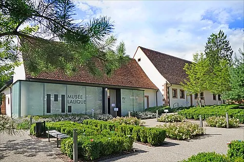 Musée Lalique Museum, Grand Est32 km NE
-
Château du Petit Géroldseck Historic site, Grand Est24 km E
-
Château du Haut-Barr Historic site, Saverne24 km E
-
Château de Lützelstein Historic site, Grand Est24 km NE
-
Château des Rohan Historic site, Grand Est25 km E
-
Chapelle Saint-Michel Attraction, Grand Est25 km E
Sources & licences
Data last updated: