Alt Wald
Located in Haut-Rhin, Grand Est Coordinates: 47°55′00″ N 7°19′04″ E
- Elevation
- 215 m
- above sea level
- Local time
- UTC+01:00
- Europe/Paris · UTC+01:00
About Alt Wald
Alt Wald is a natural site. Location: Haut-Rhin, Grand Est.
In comparison
- 13 sights and natural places within 10 km Thur, Bollenberg
Nearest towns and villages
-
Merxheim Village, Arrondissement de Thann-Guebwiller2 km W
-
Merxheim Village, Merxheim1.8 km W
-
Gundolsheim Village, Arrondissement de Thann-Guebwiller2.3 km NW
-
Gundolsheim Village, Gundolsheim2.3 km NW
-
Meyenheim Village, Arrondissement de Thann-Guebwiller2.9 km E
-
Munwiller Village, Arrondissement de Thann-Guebwiller2.6 km NE
Nearby attractions & nature
Everything nearby-
Bollenberg Mountain, Grand Est5.4 km NW
-
Le Hohberg Mountain, Westhalten8.3 km NW
-
Pfingstberg Mountain, Soultzmatt7.9 km NW
-
Forêt communale d'Ensisheim Natural site, Ensisheim7.8 km S
-
Bois de Rothleible Natural site, Haut-Rhin7.8 km E
-
Rehbrunnenkopf Mountain, Rimbach-près-Guebwiller10 km W
-
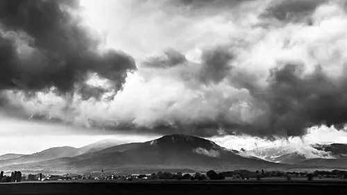 Hartmannswillerkopf Mountain, Wattwiller13 km SW
-
Forêt communale de Pulversheim Natural site, Pulversheim8.4 km S
More nature in France
-
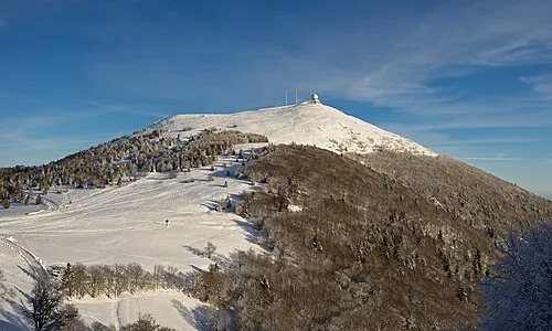 Grand Ballon Mountain, Soultz-Haut-Rhin16 km W
-
Hohrupf Mountain, Lautenbachzell13 km W
-
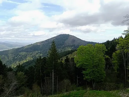 Stauffen Mountain, Vœgtlinshoffen14 km NW
-
Le Demberg Mountain, Buhl11 km W
-
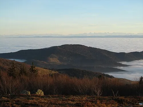 Le Molkenrain Mountain, Wattwiller16 km SW
-
Geisskopf Mountain, Buhl11 km W
Sources & licences
Data last updated: