Lac Vert
Located in Grand Est, France Coordinates: 48°05′19″ N 7°03′50″ E
- Elevation
- 1,052 m
- above sea level
- Local time
- UTC+01:00
- Europe/Paris · UTC+01:00
About Lac Vert
Lac Vert is a lake. Location: Grand Est, France. Elevation: 1,052 m.
In comparison
- 58 sights and natural places within 10 km Le Tanet, Pferchkoepfle
Nearest towns and villages
-
Le Tanet Village, Grand Est0.6 km SW
-
Soultzeren Village, Arrondissement de Colmar-Ribeauvillé4.1 km SE
-
Le Valtin Village, Arrondissement of Saint-Dié-des-Vosges3.2 km W
-
Soultzeren Village, Soultzeren4 km SE
-
Stosswihr Village, Arrondissement de Colmar-Ribeauvillé4.9 km SE
-
Le Valtin Village, Le Valtin3.3 km W
Nearby attractions & nature
Everything nearby-
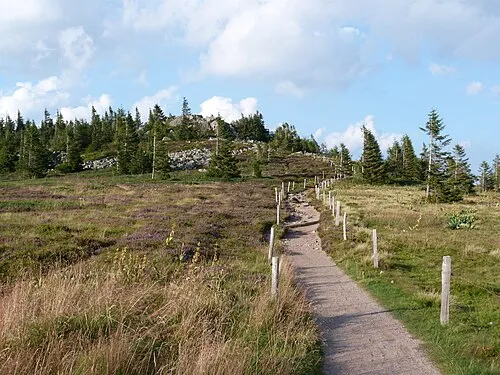 Le Tanet Mountain, Le Valtin1 km SW
-
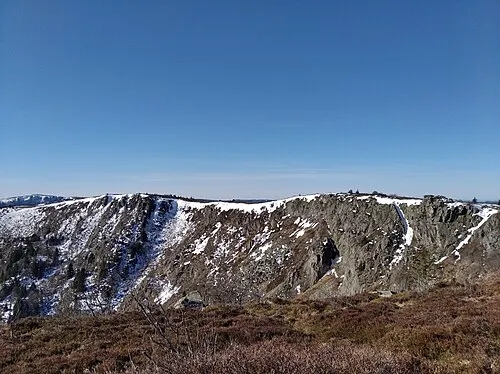 Gazon de Faite Mountain, Soultzeren1.6 km N
-
Pferchkoepfle Mountain, Soultzeren1.3 km NE
-
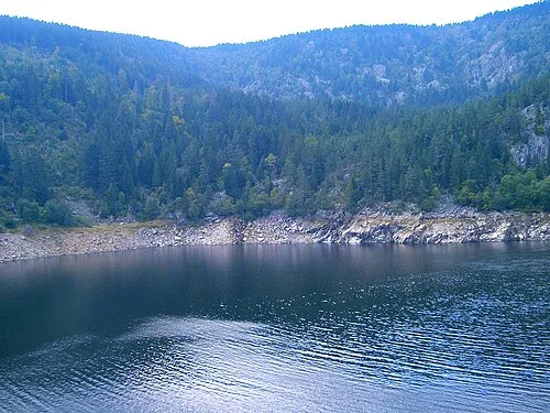 Altenkraehkopf Mountain, Orbey2.5 km NE
-
le Wurzelstein Mountain, Stosswihr1.6 km SW
-
lac des Truites - du Forlet Lake, Grand Est1.9 km NE
-
Haufenwannkopf Mountain, Orbey2.9 km NE
-
Gazon du Faing Mountain, Plainfaing2.4 km N
Sources & licences
Data last updated: