Langhardtkopf
Located in Grand Est, France Coordinates: 48°38′33″ N 7°14′05″ E
- Elevation
- 587 m
- above sea level
- Local time
- UTC+01:00
- Europe/Paris · UTC+01:00
About Langhardtkopf
Langhardtkopf is a mountain. Location: Grand Est, France. Elevation: 587 m.
In comparison
- No. 5216 of 6147 mountains in France by elevation
- 36 sights and natural places within 10 km Zorn Jaune, Eichelkopf
Nearest towns and villages
-
Dabo Village, Arrondissement of Sarrebourg1.3 km N
-
Dabo Village, Dabo1.3 km N
-
Wangenbourg-Engenthal Village, Arrondissement of Molsheim5.4 km E
-
Le Grand Ballerstein Village, Grand Est3 km NW
-
La Hoube Village, Grand Est2.9 km NE
-
Wangenbourg-Engenthal Village, Wangenbourg-Engenthal5.4 km E
Nearby attractions & nature
Everything nearby-
Eichelkopf Mountain, Dabo2.9 km E
-
Grand Rosskopf Mountain, Dabo3.1 km SE
-
Wolfsberg Mountain, Dabo3.8 km E
-
Wetzkopf Mountain, Dabo4.1 km SE
-
Spitzberg Mountain, Grand Est3.9 km S
-
Nusskopf Mountain, Grand Est4.1 km N
-
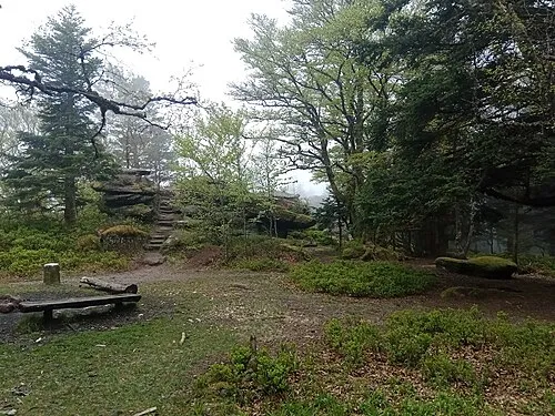 Le Schneeberg Mountain, Wangenbourg-Engenthal5.9 km SE
-
Zorn Jaune River, Grand Est2.5 km W
More nature in France
-
Urstein Mountain, Dabo6.1 km S
-
Baerenberg Mountain, Wangenbourg-Engenthal6.5 km SE
-
Eichkopf Mountain, Walscheid6.7 km S
-
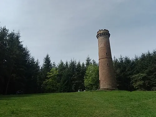 Brotschberg Mountain, Haegen9.8 km NE
-
Umwurf Mountain, Wangenbourg-Engenthal7.1 km SE
-
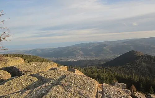 Rocher de Mutzig Mountain, Lutzelhouse10 km S
Sources & licences
Data last updated: