Le Schlumpf
Located in Grand Est, France Coordinates: 47°47′36″ N 6°55′23″ E
- Elevation
- 668 m
- above sea level
- Local time
- UTC+01:00
- Europe/Paris · UTC+01:00
About Le Schlumpf
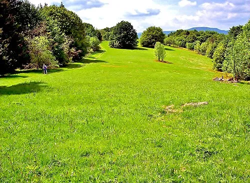
Le Schlumpf is a village. Location: Grand Est, France. Elevation: 668 m.
In comparison
- Nearest larger town: Dolleren, 2 km NE
- 61 sights and natural places within 10 km Lac du Lachtelweiher, Baerenkopf
Nearby attractions & nature
Everything nearby-
Lac du Lachtelweiher Lake, Kirchberg1.9 km S
-
 Baerenkopf Mountain, Lamadeleine-Val-des-Anges2.3 km S
-
Ballon de Saint-Nicolas Mountain, Rougemont-le-Château2.7 km S
-
Triebelskopf Mountain, Masevaux-Niederbruck2.8 km SE
-
lac de Sewen Lake, Sewen2.8 km NW
-
Forêt de la Grande Roche Natural site, Bourgogne-Franche-Comté3.9 km SW
Sources & licences
Data last updated: