Othain
Located in Meuse, Grand Est Coordinates: 49°31′12″ N 5°22′55″ E
- Elevation
- 184 m
- above sea level
- Local time
- UTC+01:00
- Europe/Paris · UTC+01:00
About Othain
Othain is a river. Location: Meuse, Grand Est.
In comparison
- 7 sights and natural places within 10 km Ton, Bois Lahaut
Nearest towns and villages
-
Montmédy Village, Arrondissement of Verdun1.2 km W
-
Montmédy Village, Montmédy1 km W
-
Villécloye Village, Arrondissement of Verdun1.5 km SE
-
Villécloye Village, Villécloye1.5 km SE
-
Thonne-les-Près Village, Arrondissement of Verdun2.4 km W
-
Verneuil-Grand Village, Arrondissement of Verdun2.7 km E
Nearby attractions & nature
Everything nearby-
Ton River, Belgium4.9 km E
-
Bois Lahaut Natural site, Luxembourg Province6 km NE
-
Mont Rivaux Natural site, Luxembourg Province8 km NE
-
Bois de la Côte Natural site, Luxembourg Province8.1 km E
-
Loison River, Meuse6.9 km W
-
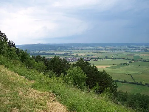 Côte Saint-Germain Mountain, Lion-devant-Dun17 km SW
-
Bois de Guéville Natural site, Luxembourg Province10 km E
-
Forêt de Woevre Natural site, Meuse12 km SW
Sources & licences
Data last updated: