Tête Chenil
Located in Grand Est, France Coordinates: 48°31′57″ N 7°01′02″ E
- Elevation
- 526 m
- above sea level
- Local time
- UTC+01:00
- Europe/Paris · UTC+01:00
About Tête Chenil
Tête Chenil is a mountain. Location: Grand Est, France. Elevation: 526 m.
In comparison
- No. 5359 of 6147 mountains in France by elevation
- 24 sights and natural places within 10 km Forêt Domaniale de Bousson, Forêt de Turquestein
Nearest towns and villages
-
Saint-Sauveur Village, Arrondissement of Lunéville3.2 km W
-
Val-et-Châtillon Village, Arrondissement of Lunéville4.8 km NW
-
Vexaincourt Village, Arrondissement of Saint-Dié-des-Vosges4.8 km SE
-
Petitmont Village, Arrondissement of Lunéville5.3 km NW
-
Vexaincourt Village, Vexaincourt4.9 km SE
-
Allarmont Village, Arrondissement of Saint-Dié-des-Vosges5.6 km S
Nearby attractions & nature
Everything nearby-
Forêt Domaniale de Bousson Natural site, Meurthe et Moselle1.8 km SW
-
Haut des Roches Mountain, Angomont6.2 km SW
-
Forêt de Turquestein Natural site, Moselle5.2 km E
-
Haut des Planches Mountain, Angomont5.4 km SW
-
Vallée de Celles Natural site, Grand Est5.4 km S
-
La Haute Côte Mountain, Vexaincourt5.8 km S
-
Tête des Herrins Mountain, Allarmont7.1 km S
-
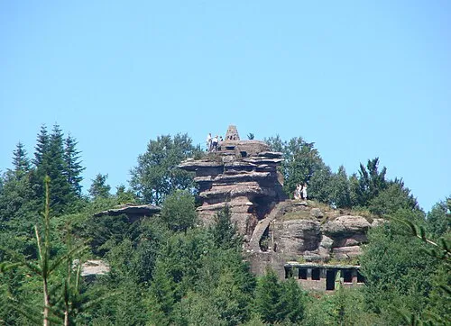 Tête du Coquin Mountain, Celles-sur-Plaine8.8 km S
More nature in France
-
Tête du Grand Colas Mountain, Allarmont7.7 km S
-
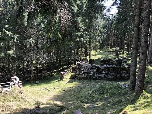 La Haute Loge Mountain, Moussey12 km SE
-
La Sauvage Femme Mountain, Allarmont8.1 km S
-
Le Noir Brocard Mountain, Moussey8.8 km S
-
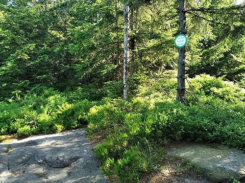 Tête des Blanches Roches Natural site, Moussey9.8 km SE
-
Haut du Moelleux Mountain, Celles-sur-Plaine9.3 km S
Sources & licences
Data last updated: