Forêt de Padoux
Located in Vosges, Grand Est Coordinates: 48°18′18″ N 6°34′07″ E
- Elevation
- 325 m
- above sea level
- Local time
- UTC+01:00
- Europe/Paris · UTC+01:00
About Forêt de Padoux
Forêt de Padoux is a natural site. Location: Vosges, Grand Est.
In comparison
- 4 sights and natural places within 10 km Forêt de Romont et de Rambervillers, Ruisseau Padozel
Nearest towns and villages
Nearby attractions & nature
Everything nearby-
Forêt de Romont et de Rambervillers Natural site, Vosges3.7 km NW
-
Arentèle River, Vosges6.7 km NE
-
Bois de Sainte-Hélène Natural site, Vosges7.3 km E
-
Ruisseau Padozel River, Vosges6.2 km NE
-
Forêt de Rambervillers Natural site, Vosges14 km E
-
Forêt de Fraise Natural site, Vosges14 km W
-
Forêt de Faite Natural site, Vosges12 km SE
-
Forêt d'Épinal Natural site, Vosges16 km S
More nature in France
-
Forêt de Mortagne Natural site, Vosges19 km E
-
Forêt de Tanières Natural site, Vosges19 km S
-
Grands Bois de Glonville Natural site, Vosges17 km NE
-
Forêt du Ban d'Uxegney Natural site, Vosges21 km SW
-
Haut Jacques Mountain, Mortagne22 km E
-
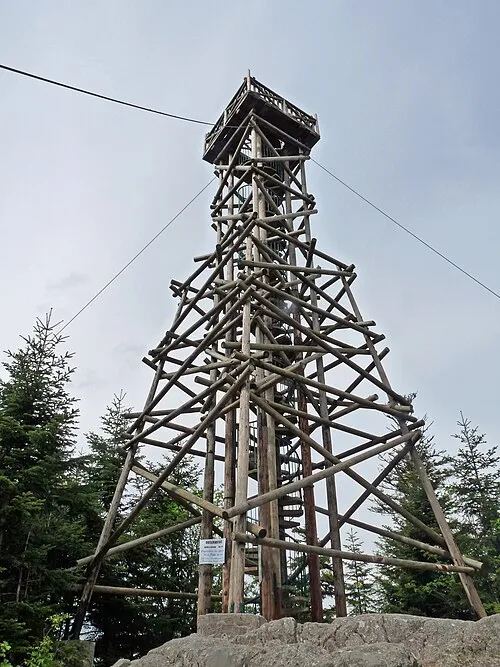 Tête de Mérelle Mountain, Gérardmer34 km SE
Sources & licences
Data last updated: