Forêt d'Uriménil
Located in Vosges, Grand Est Coordinates: 48°04′37″ N 6°23′38″ E
- Elevation
- 400 m
- above sea level
- Local time
- UTC+01:00
- Europe/Paris · UTC+01:00
About Forêt d'Uriménil
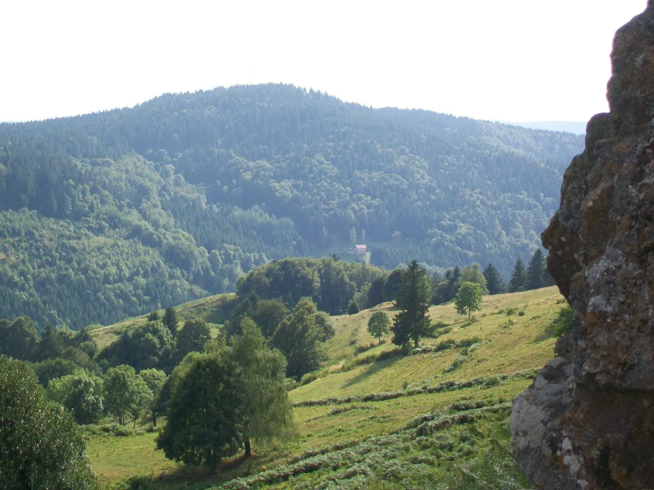
Forêt d'Uriménil is a natural site. Location: Vosges, Grand Est.
In comparison
- 3 sights and natural places within 10 km Bois du Haumont, Cône
Nearest towns and villages
Nearby attractions & nature
Everything nearby-
Bois du Haumont Natural site, Vosges4.5 km SE
-
Cône River, Vosges4.6 km W
-
Forêt du Ban d'Uxegney Natural site, Vosges8.5 km N
-
Monts Faucilles Mountain, Vosges10 km NW
-
Forêt de Humont Natural site, Vosges13 km SE
-
Forêt d'Épinal Natural site, Vosges14 km NE
-
Forêt de Tanières Natural site, Vosges14 km NE
-
Forêt Domaniale du Ban d'Harol Natural site, Vosges12 km W
More nature in France
-
Forêt d'Hérival Natural site, Vosges18 km SE
-
Forêt de Fossard Natural site, Vosges18 km E
-
Saint-Mont Mountain, Saint-Amé19 km E
-
 Haut du Roc Mountain, Basse-sur-le-Rupt31 km E
-
Bois du Rey Natural site, Vosges19 km SE
-
Moyenmont Mountain, Vagney27 km E
Sources & licences
Data last updated: