Le Roc
Located in France Coordinates: 46°16′40″ N 6°51′21″ E
- Elevation
- 1,926 m
- above sea level
- Local time
- UTC+01:00
- Europe/Paris · UTC+01:00
About Le Roc
Le Roc is a mountain. Location: France. Elevation: 1,926 m.
In comparison
- No. 1962 of 6147 mountains in France by elevation
- 72 sights and natural places within 10 km Morclan, Pointe des Ombrieux
Nearest towns and villages
-
Châtel Village, Arrondissement of Thonon-les-Bains1.7 km SW
-
Châtel Village, Châtel1.8 km SW
-
Vionnaz Municipality, Monthey District3.6 km N
-
Collombey-Muraz Municipality, Monthey District5.4 km E
-
Morgins Village, Troistorrents4.3 km S
-
Troistorrents Municipality, Monthey District5.5 km SE
Nearby attractions & nature
Everything nearby-
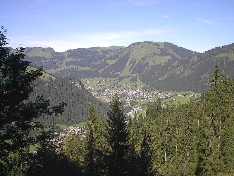 Morclan Mountain, Collombey-Muraz0.5 km E
-
Pointe des Ombrieux Mountain, Collombey-Muraz0.8 km E
-
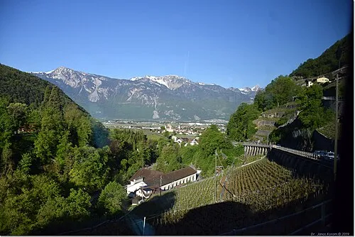 Tour de Don Mountain, Collombey-Muraz1.4 km N
-
Tête du Tronchet Mountain, Valais1.5 km N
-
Le Mouet Mountain, Valais2.1 km NW
-
Cheval Blanc Mountain, Troistorrents2.1 km S
-
Pré Fleuri Mountain, Collombey-Muraz2.6 km E
-
Tête de la Torrens Mountain, France4.4 km SW
More nature in France
-
Pointe des Mattes Mountain, France4.8 km W
-
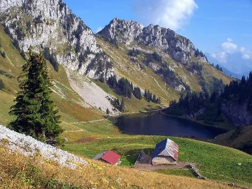 Le Linleu Mountain, France5.2 km NW
-
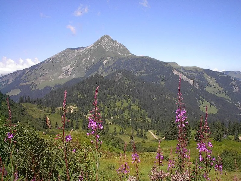 Mont de Grange Mountain, Abondance6.1 km W
-
Mont Chauffé Mountain, La Chapelle-d'Abondance8.1 km NW
-
Les Cornettes de Bise Mountain, La Chapelle-d'Abondance8.2 km NW
-
Pointe de Lachau Mountain, Vacheresse8.8 km NW
Sources & licences
Data last updated: