Forêt Nézer
Located in Gironde, New Aquitaine Coordinates: 44°36′00″ N 1°02′00″ W
- Elevation
- 17 m
- above sea level
- Local time
- UTC+01:00
- Europe/Paris · UTC+01:00
About Forêt Nézer
Forêt Nézer is a natural site. Location: Gironde, New Aquitaine.
In comparison
- 6 sights and natural places within 10 km Ruisseau la Canau, Îles de Malprat
Airports nearest to Forêt Nézer
- Bordeaux–Mérignac Airport (BOD) Bordeaux 36 km
- Bergerac Dordogne-Périgord airport (EGC) Bergerac 125 km
- Biarritz Pays Basque airport (BIQ) Biarritz 132 km
Straight-line distance; airports with scheduled flights only. Source: OurAirports (public domain).
Nearest towns and villages
-
Arrondissement d'Arcachon Municipality, Gironde2 km SW
-
Le Teich Village, Arrondissement d'Arcachon3.8 km N
-
Gujan-Mestras Village, Arrondissement d'Arcachon4.8 km NW
-
Biganos Village, Arrondissement d'Arcachon6.6 km NE
-
Le Burgat Village, Le Teich2.2 km N
-
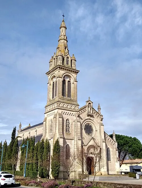 Le Teich Town, Le Teich3.8 km N
Nearby attractions & nature
Everything nearby-
Îles de Malprat Island, Biganos6.1 km N
-
Ruisseau la Canau River, Gironde5 km NE
-
Le Truc de la Truque Mountain, La Teste-de-Buch10 km W
-
Ruisseau de la Mole River, Gironde6.2 km NE
-
Leyre River, Gironde7.2 km N
-
Forêt d'Arcachon Natural site, Gironde12 km W
-
Dune du Pilat Natural site, Gironde14 km W
-
Forêt Domaniale de la Teste Natural site, Gironde15 km SW
Sources & licences
Data last updated: