Ajon
Located in Calvados, Normandy Coordinates: 49°05′52″ N 0°33′40″ W
- Elevation
- 59 m
- above sea level
- Local time
- UTC+01:00
- Europe/Paris · UTC+01:00
About Ajon
Ajon is a river. Location: Calvados, Normandy.
In comparison
- 2 sights and natural places within 10 km Château de Baron, Château de Fontaine
Nearest towns and villages
-
Le Locheur Village, Val d'Arry0.9 km NE
-
Val d'Arry Village, Arrondissement of Vire2.8 km N
-
Noyers-Bocage Village, Val d'Arry2.8 km N
-
Missy Village, Val d'Arry2.6 km N
-
Landes-sur-Ajon Village, Arrondissement of Vire2.8 km SW
-
Bougy Village, Arrondissement of Caen3.1 km NE
Nearby attractions & nature
Everything nearby-
Odon River, Calvados18 km NE
-
Forêt de Grimbosq Natural site, Calvados11 km SE
-
Laize River, Laize-Clinchamps13 km E
-
Château de Baron Attraction, Baron-sur-Odon6.7 km NE
-
Bois de Buron Natural site, Calvados14 km SW
-
Mont d'Ancre Mountain, Les Monts d'Aunay13 km S
-
Bois du Homme Natural site, Calvados19 km SW
-
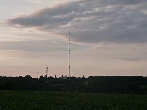 Mont Pinçon Mountain, Les Monts d'Aunay15 km S
Sources & licences
Data last updated: