Forêt de Saint-Sauveur
Located in Manche, Normandy Coordinates: 49°22′59″ N 1°35′37″ W
- Elevation
- 61 m
- above sea level
- Local time
- UTC+01:00
- Europe/Paris · UTC+01:00
About Forêt de Saint-Sauveur
Forêt de Saint-Sauveur is a natural site. Location: Manche, Normandy.
In comparison
- 4 sights and natural places within 10 km Saudre, Seye
Nearest towns and villages
-
Besneville Village, Arrondissement of Cherbourg3 km SW
-
Besneville Village, Besneville3 km SW
-
Taillepied Village, Arrondissement of Cherbourg2.4 km S
-
Saint-Sauveur-le-Vicomte Village, Arrondissement of Cherbourg4.5 km E
-
Catteville Village, Arrondissement of Cherbourg3.5 km SE
-
Saint-Jacques-de-Néhou Village, Arrondissement of Cherbourg4.1 km N
Nearby attractions & nature
Everything nearby-
Saudre River, Manche6.2 km NE
-
Seye River, Manche7.1 km N
-
Bois de Limors Natural site, Manche10 km E
-
Ollonde River, Manche8.5 km SW
-
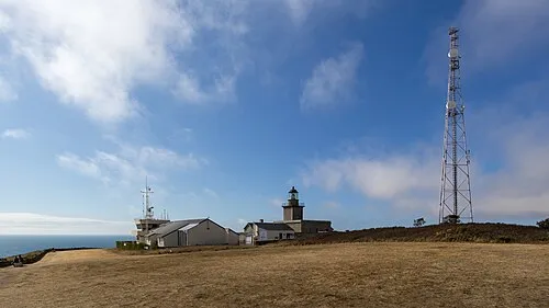 Cap de Carteret Natural site, Eure16 km W
-
Gloire River, Manche13 km N
-
Cotentin Natural site, Manche15 km NE
-
Forêt de Mont-Castre Natural site, Manche14 km SE
Sources & licences
Data last updated: