Lézarde
Located in Seine-Maritime, Normandy Coordinates: 49°30′20″ N 0°11′52″ E
- Elevation
- 6 m
- above sea level
- Local time
- UTC+01:00
- Europe/Paris · UTC+01:00
About Lézarde
Lézarde is a river. Location: Seine-Maritime, Normandy.
In comparison
- 19 sights and natural places within 10 km Eglise Saint-Martin, Harfleur, Stade municipal Jules-Deschaseaux
Nearest towns and villages
-
Harfleur Village, Arrondissement of Le Havre0.1 km N
-
Harfleur Town, Harfleur0.1 km N
-
Gonfreville-l'Orcher Village, Arrondissement of Le Havre2.6 km E
-
Montivilliers Village, Arrondissement of Le Havre4.6 km N
-
Le Havre Village, Arrondissement of Le Havre5.6 km W
-
Gainneville Village, Arrondissement of Le Havre4.1 km E
Nearby attractions & nature
Everything nearby-
Eglise Saint-Martin, Harfleur Attraction, Harfleur0.1 km NE
-
Forêt de Montgeon Natural site, Seine-Maritime4.5 km W
-
Stade municipal Jules-Deschaseaux Landmark, Le Havre2 km W
-
Cap du Hode Natural site, Seine-Maritime11 km E
-
Abbaye Notre-Dame de Montivilliers Historic site, Montivilliers4.4 km N
-
Plage du Butin Beach, Honfleur8.9 km S
-
Plage du Vasouy Beach, France9.4 km S
-
Seine River, Normandy9.8 km SW
More lakes, rivers and coasts in France
-
La tourbière Lake, Heurteauville44 km E
-
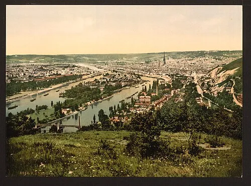 Île Brouilly Island, Seine-Maritime67 km E
-
Île Lacroix Island, Seine-Maritime66 km E
-
Île du Jonquay Island, Seine-Maritime68 km E
-
Cailly River, Seine-Maritime62 km E
-
Durdent River, Seine-Maritime49 km NE
Sources & licences
Data last updated: