Forêt de Léran
Located in Ariège, Occitanie Coordinates: 42°59′08″ N 1°56′05″ E
- Elevation
- 396 m
- above sea level
- Local time
- UTC+01:00
- Europe/Paris · UTC+01:00
About Forêt de Léran
Forêt de Léran is a natural site. Location: Ariège, Occitanie.
In comparison
- 2 sights and natural places within 10 km Lac de Montbel, Blau
Nearest towns and villages
Nearby attractions & nature
Everything nearby-
Lac de Montbel Lake, Léran0.4 km S
-
Blau River, Aude5.6 km E
-
Cap de la Mounjo Mountain, Raissac11 km W
-
Sarrat de la Catelle Mountain, Rivel10 km SE
-
Monombre Mountain, Dun13 km W
-
Sarrat des Cabiroles Mountain, Rivel11 km SE
-
Pic de Montegut Mountain, Dun14 km W
-
Pech de Gendarme Mountain, Saint-Benoît11 km E
More nature in France
-
Roc Marot Mountain, Roquefixade15 km W
-
Serrat du Puy des Vaches Mountain, Bélesta12 km S
-
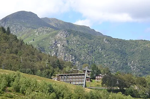 Mont Fourcat Mountain, Montferrier23 km SW
-
Pog de Montségur Mountain, Montségur15 km SW
-
Pic des Monges Mountain, Leychert17 km W
-
Roc de la Gourgue Mountain, Montségur17 km SW
Sources & licences
Data last updated: