Le Lévézou
Located in Aveyron, Occitanie Coordinates: 44°08′59″ N 2°52′50″ E
- Elevation
- 1,091 m
- above sea level
- Local time
- UTC+01:00
- Europe/Paris · UTC+01:00
About Le Lévézou
Le Lévézou is a mountain. Location: Aveyron, Occitanie. Elevation: 1,091 m.
In comparison
- No. 3916 of 6147 mountains in France by elevation
- 3 sights and natural places within 10 km Ruisseau le Vioulou, Mont Seigné
Nearest towns and villages
-
Castelnau-Pégayrols Village, Arrondissement of Millau4.8 km SE
-
Bouloc Village, Salles-Curan1.1 km W
-
Castelnau-Pégayrols Village, Castelnau-Pégayrols4.7 km SE
-
Montjaux Village, Arrondissement of Millau5.6 km S
-
Montjaux Village, Montjaux5.5 km S
-
Curan Village, Arrondissement of Millau6 km N
Nearby attractions & nature
Everything nearby-
Mont Seigné Mountain, Saint-Laurent-de-Lévézou8.3 km NE
-
Ruisseau le Vioulou River, Aveyron5.3 km N
-
Cernon River, Aveyron11 km SE
-
Muze River, Aveyron8.8 km S
-
Lac de Pareloup Lake, Occitanie12 km NW
-
Pyramide du Lagast Mountain, Auriac-Lagast19 km W
-
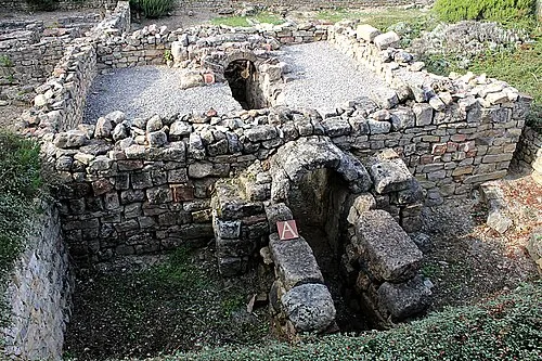 La Graufesenque Historic site, Millau18 km E
-
Ruisseau la Fage River, Aveyron17 km NW
Sources & licences
Data last updated: · 2 independent sources