Bois de Vallabrix
Located in Gard, Occitanie Coordinates: 44°04′44″ N 4°28′42″ E
- Elevation
- 219 m
- above sea level
- Local time
- UTC+01:00
- Europe/Paris · UTC+01:00
About Bois de Vallabrix
Bois de Vallabrix is a natural site. Location: Gard, Occitanie.
In comparison
- 5 sights and natural places within 10 km Bois de Saint-Quentin, Étang de la Capelle
Nearest towns and villages
-
Vallabrix Village, Arrondissement of Nîmes2 km S
-
La Bastide-d'Engras Village, Arrondissement of Nîmes1.8 km N
-
La Bastide-d'Engras Village, La Bastide-d'Engras1.7 km N
-
Vallabrix Village, Vallabrix2 km S
-
Pougnadoresse Village, Arrondissement of Nîmes2.7 km NE
-
Saint-Laurent-la-Vernède Village, Arrondissement of Nîmes3.3 km NW
Nearby attractions & nature
Everything nearby-
Bois de Saint-Quentin Natural site, Gard4.2 km W
-
Étang de la Capelle Lake, Gard6.6 km SE
-
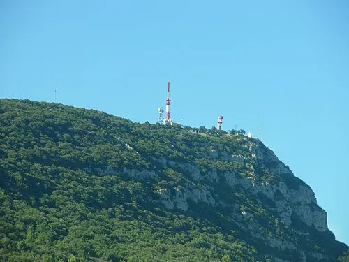 Mont Bouquet Mountain, Brouzet-lès-Alès17 km W
-
Bois de Saint-Victor Natural site, Gard13 km SE
-
Forêt de Malmont Natural site, Gard14 km SE
-
Veyre River, Gard8.3 km E
-
Bois de Goudargues Natural site, Gard16 km N
-
Serre de fons Mountain, Méjannes-le-Clap18 km NW
Sources & licences
Data last updated: