Le Géripon
Located in Occitanie, France Coordinates: 44°17′07″ N 3°51′18″ E
- Elevation
- 617 m
- above sea level
- Local time
- UTC+01:00
- Europe/Paris · UTC+01:00
About Le Géripon
Le Géripon is a village. Location: Occitanie, France. Elevation: 617 m.
In comparison
- Nearest larger town: Ventalon en Cévennes, 0 km E
- 8 sights and natural places within 10 km Signal de Ventalon, Le Maplas
Nearby attractions & nature
Everything nearby-
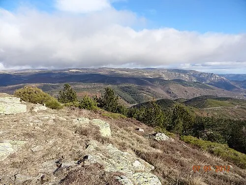 Signal de Ventalon Mountain, Saint-Privat-de-Vallongue4.4 km NW
-
Le Maplas Mountain, Saint-Germain-de-Calberte6 km S
-
Plo de l'Estrade Mountain, Vialas6.1 km N
-
Ruisseau de Gourdouze River, Lozère6.4 km NE
-
Serre de l'Espizio Mountain, Pont de Montvert - Sud Mont Lozère6.9 km N
-
Montagne de Mortissou Mountain, Saint-Michel-de-Dèze7.5 km SE
Sources & licences
Data last updated: