Vert
Located in Lot, Occitanie Coordinates: 44°30′32″ N 1°13′25″ E
- Elevation
- 106 m
- above sea level
- Local time
- UTC+01:00
- Europe/Paris · UTC+01:00
About Vert
Vert is a river. Location: Lot, Occitanie.
Nearest towns and villages
-
Castelfranc Village, Arrondissement of Cahorse0.9 km S
-
Castelfranc Village, Castelfranc0.8 km S
-
Prayssac Village, Arrondissement of Cahorse2.8 km W
-
Anglars Village, Anglars-Juillac1.9 km SW
-
Prayssac Village, Prayssac2.9 km W
-
Anglars-Juillac Village, Arrondissement of Cahorse2.9 km SW
Nearby attractions & nature
Everything nearby-
Thèze River, Lot19 km W
-
Lémance River, Lot-et-Garonne22 km W
-
Tréboulou River, Lot23 km E
-
Ruisseau de Bléou River, Lot24 km NE
-
Ruisseau la Lousse River, Dordogne25 km N
-
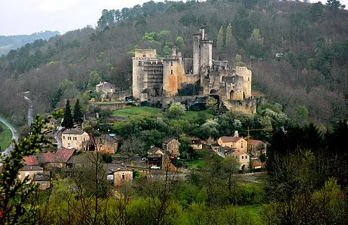 Château de Bonaguil Historic site, Occitanie17 km W
-
Cathédrale Saint-Étienne Attraction, Cahors19 km E
-
Abbaye Nouvelle Historic site, Léobard23 km N
Sources & licences
Data last updated: