Brangoly
Located in Pyrénées-Orientales, Occitanie Coordinates: 42°28′04″ N 1°54′45″ E
- Elevation
- 1,341 m
- above sea level
- Local time
- UTC+01:00
- Europe/Paris · UTC+01:00
About Brangoly
Brangoly is a river. Location: Pyrénées-Orientales, Occitanie.
In comparison
- 21 sights and natural places within 10 km Bena, Riu d'Angustrina
Nearest towns and villages
-
Enveitg Village, Arrondissement of Prades0.9 km S
-
Enveig Village, Enveitg0.8 km S
-
Latour-de-Carol Village, Arrondissement of Prades1.9 km W
-
Latour-de-Carol Village, Latour-de-Carol1.9 km W
-
Ur Village, Arrondissement of Prades2.2 km E
-
Ur Village, Ur2.2 km E
Nearby attractions & nature
Everything nearby-
Salit River, Occitanie3.2 km W
-
Bena River, Pyrénées-Orientales2.4 km E
-
Riu d'Angustrina River, Pyrénées-Orientales2.6 km E
-
Pic de Mollet Mountain, Dorres4.5 km N
-
Serrat de Castellar Mountain, Dorres5.2 km N
-
Cerdanya Natural site, Spain4.9 km SE
-
Serrat dels Llops Mountain, Dorres5.6 km N
-
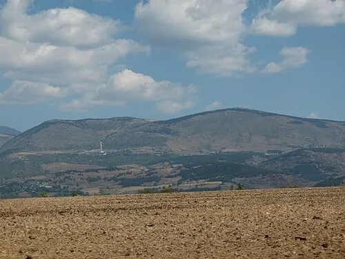 Pic dels Moros Mountain, Font-Romeu-Odeillo-Via8.2 km NE
Sources & licences
Data last updated: