el Riuferrer
Located in Pyrénées-Orientales, Occitanie Coordinates: 42°27′54″ N 2°37′01″ E
- Elevation
- 374 m
- above sea level
- Local time
- UTC+01:00
- Europe/Paris · UTC+01:00
About el Riuferrer
el Riuferrer is a river. Location: Pyrénées-Orientales, Occitanie.
In comparison
- 29 sights and natural places within 10 km Abbaye Sainte-Marie, Salt de la Maria Valenta
Nearest towns and villages
-
Arles-sur-Tech Village, Arrondissement of Céret1.6 km SE
-
Arles Village, Arles-sur-Tech1.7 km SE
-
Corsavy Village, Arrondissement of Céret3.1 km W
-
Amélie-les-Bains-Palalda Village, Arrondissement of Céret4.7 km E
-
Corsavy Village, Corsavy3.1 km W
-
Amélie-les-Bains Village, Amélie-les-Bains-Palalda4.4 km E
Nearby attractions & nature
Everything nearby-
Salt de la Maria Valenta Natural site, Pyrénées-Orientales2.6 km S
-
Batterie de Santa Engràcia Mountain, Amélie-les-Bains-Palalda3.7 km E
-
Abbaye Sainte-Marie Attraction, Arles-sur-Tech1.8 km SE
-
Piló de Bellmaig Mountain, Amélie-les-Bains-Palalda4.6 km SE
-
Puig de l'Estelle Mountain, Saint-Laurent-de-Cerdans5 km S
-
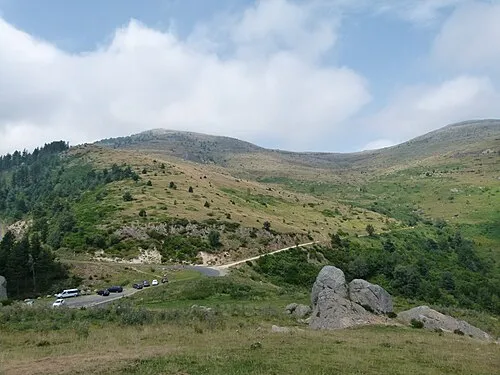 Puig de l'Estela Mountain, Valmanya7.6 km NW
-
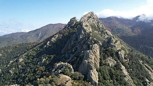 Roc de Sant Salvador Mountain, Amélie-les-Bains-Palalda7.6 km SE
-
Puig de la Senyoral Mountain, Saint-Laurent-de-Cerdans5.6 km SE
Sources & licences
Data last updated: